
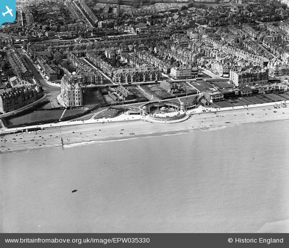
EPW035330 ENGLAND (1931). The Colonnade and environs, Bexhill, 1931
© Copyright OpenStreetMap contributors and licensed by the OpenStreetMap Foundation. 2026. Cartography is licensed as CC BY-SA.
Nearby Images (10)
EPW035330

EPW035329

EPW026233

EPW039349

EPW000120

EPW026222

EPW026232

EPW026226

EAW006615

EPW000697

Details
| Title | [EPW035330] The Colonnade and environs, Bexhill, 1931 |
| Reference | EPW035330 |
| Date | 25-May-1931 |
| Link | |
| Place name | BEXHILL |
| Parish | |
| District | |
| Country | ENGLAND |
| Easting / Northing | 574115, 107064 |
| Longitude / Latitude | 0.47304728548844, 50.836317066824 |
| National Grid Reference | TQ741071 |
Pins

Alan McFaden |
Thursday 12th of June 2014 12:19:29 PM | |
|
Alan McFaden |
Thursday 12th of June 2014 12:18:49 PM |

