
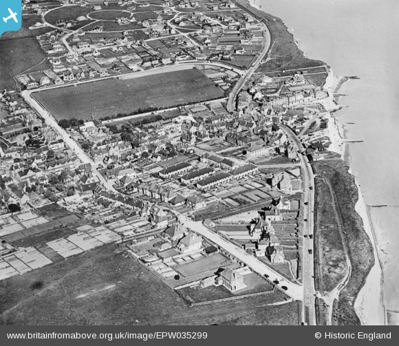
EPW035299 ENGLAND (1931). The village, Rottingdean, 1931. This image has been produced from a copy-negative.
© Copyright OpenStreetMap contributors and licensed by the OpenStreetMap Foundation. 2026. Cartography is licensed as CC BY-SA.
Nearby Images (30)
EPW035299

EPW018064

EPW035300

EPW018056

EPW018057

EPW018058

EPW018059

EPW017270

EPW054058

EPW017267

EPW018055

EPW018054

EPW018060

EPW035301

EPW018063

EPW017264

EPW017265

EPW017266

EAW024794

EPW018061

EPW042966

EPW017268

EPW041382

EAW024795

EPW017263

EPW017269

EPW017726

EPW017731

EPW042967

EPW054004

Details
| Title | [EPW035299] The village, Rottingdean, 1931. This image has been produced from a copy-negative. |
| Reference | EPW035299 |
| Date | 25-May-1931 |
| Link | |
| Place name | ROTTINGDEAN |
| Parish | ROTTINGDEAN |
| District | |
| Country | ENGLAND |
| Easting / Northing | 536868, 102303 |
| Longitude / Latitude | -0.057399213013374, 50.803534037546 |
| National Grid Reference | TQ369023 |
Pins
Be the first to add a comment to this image!
User Comment Contributions
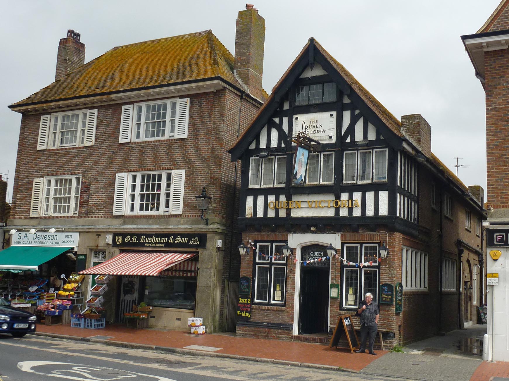
The Queen Victoria PH Rottingdean |

Alan McFaden |
Saturday 15th of November 2014 10:53:05 AM |
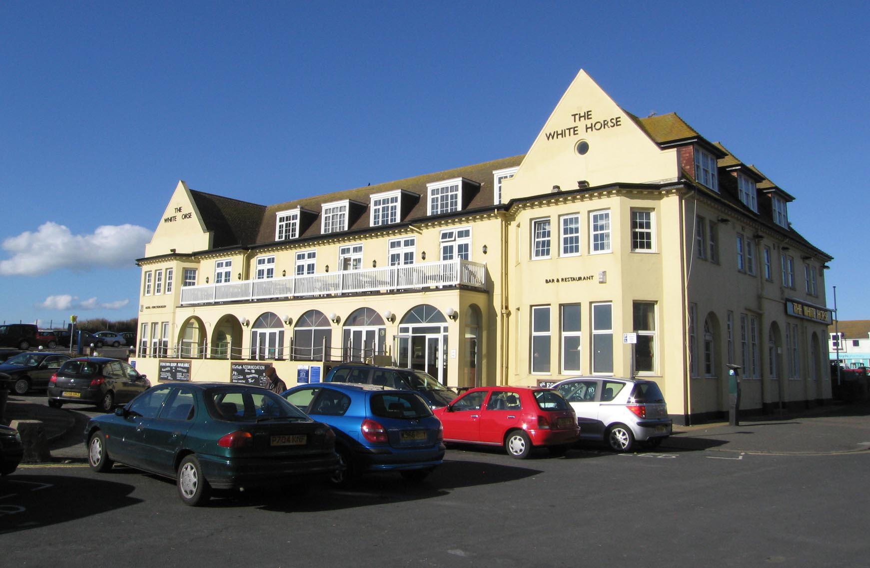
The White Horse PH Rottingdean |
Alan McFaden |
Saturday 15th of November 2014 10:52:21 AM |
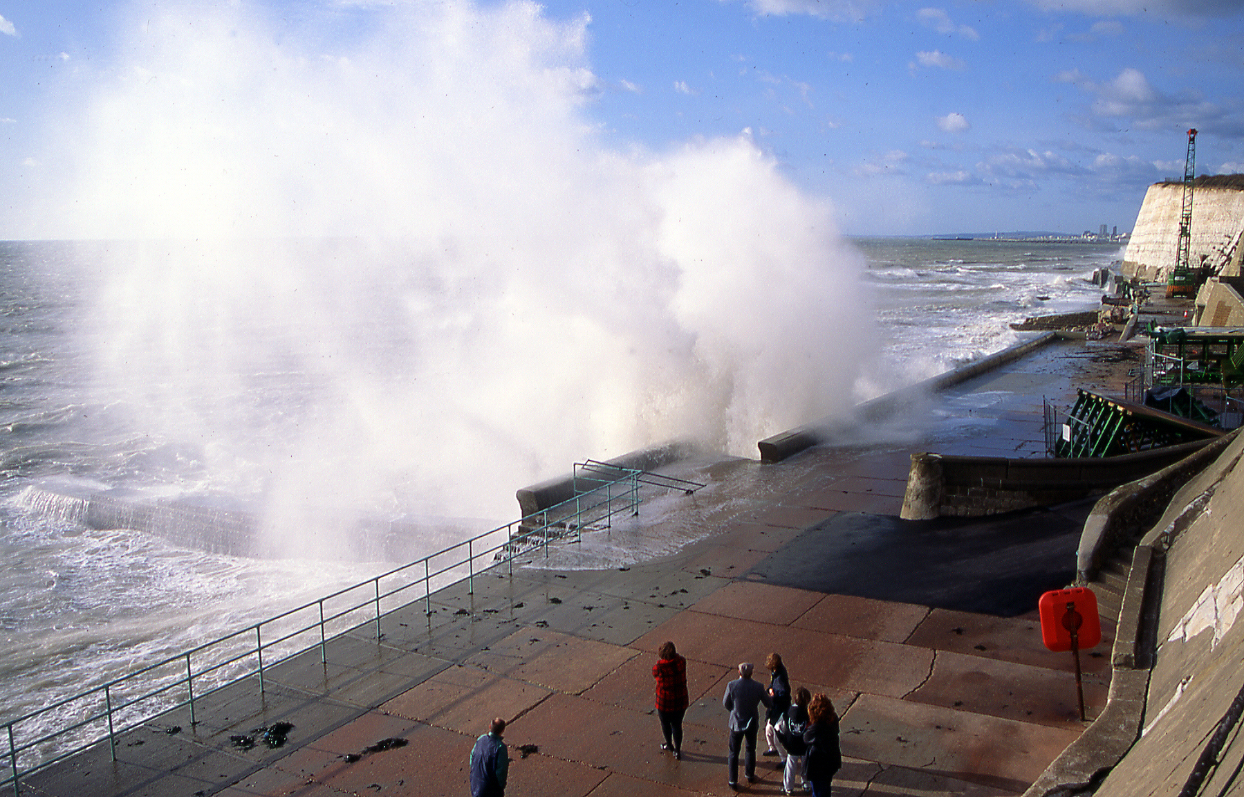
Rough Sea at Rottingdean |
Alan McFaden |
Saturday 15th of November 2014 10:51:47 AM |
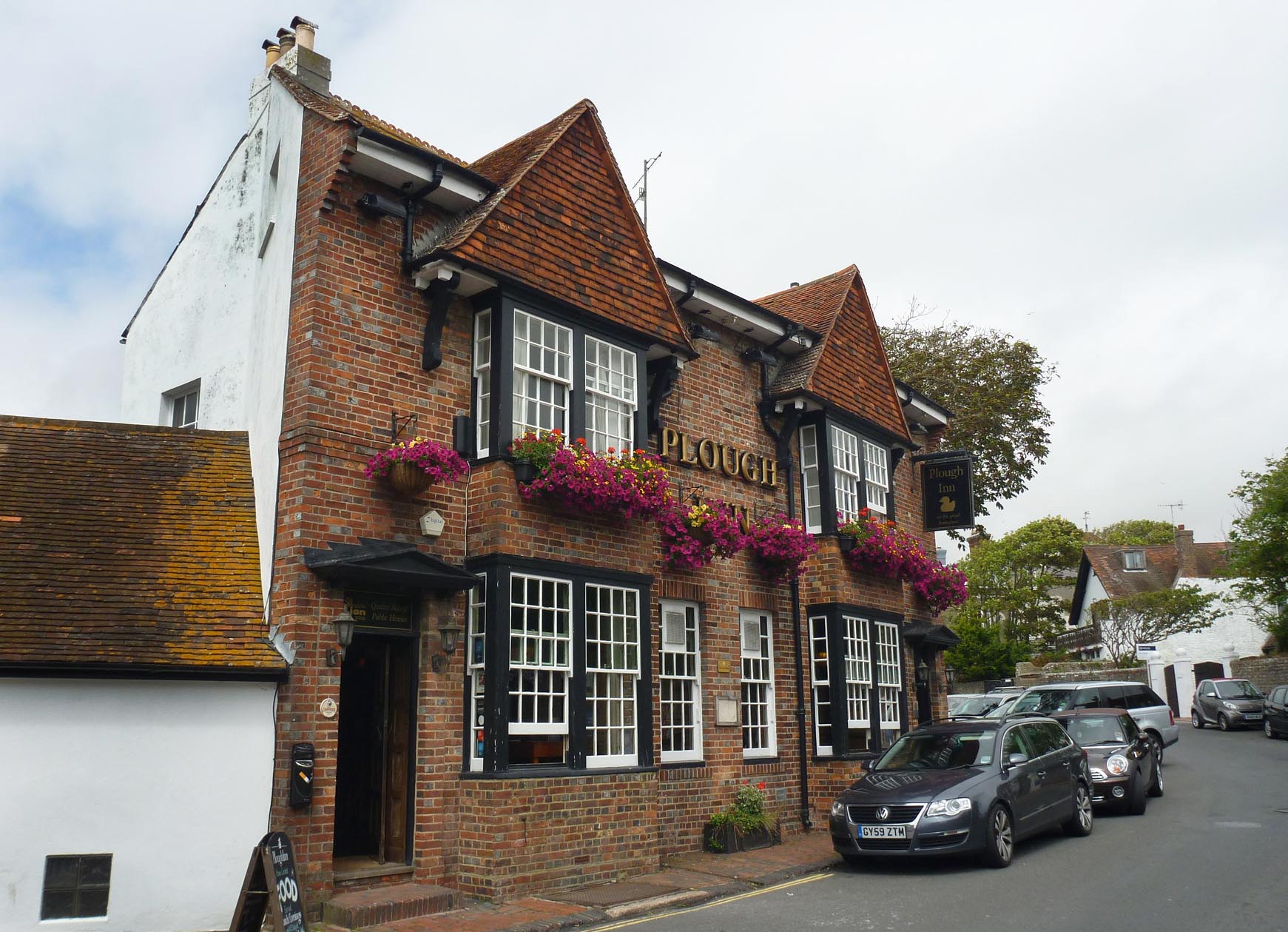
The Plough Inn PH Rottingdean |
Alan McFaden |
Saturday 15th of November 2014 10:51:12 AM |
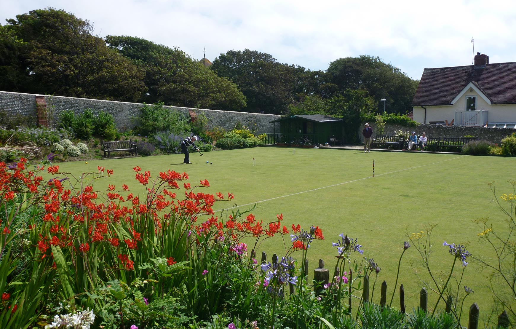
Rottingdean Croquet Lawn |
Alan McFaden |
Saturday 15th of November 2014 10:50:33 AM |

Rottingdean Cliff's Walk |
Alan McFaden |
Saturday 15th of November 2014 10:49:24 AM |
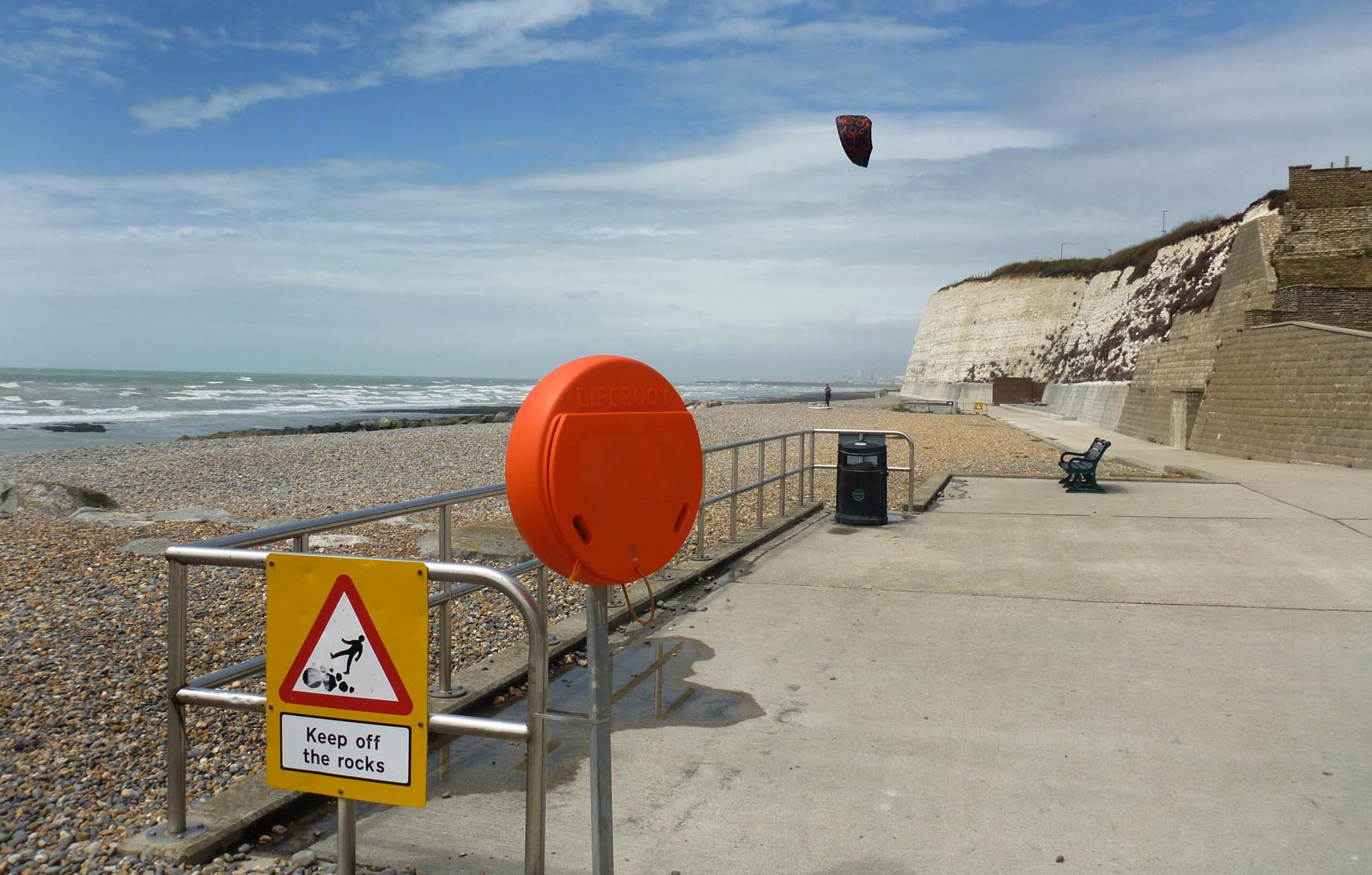
Rottingdean Beach |
Alan McFaden |
Saturday 15th of November 2014 10:48:47 AM |