
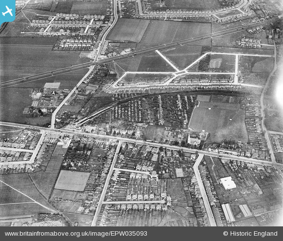
EPW035093 ENGLAND (1931). Residential development around Hounslow West Station, Hounslow West, 1931
© Copyright OpenStreetMap contributors and licensed by the OpenStreetMap Foundation. 2026. Cartography is licensed as CC BY-SA.
Nearby Images (15)
EPW035093

EPW033774

EPW016529

EPW016527

EPW035032

EPW035078

EPW016528

EPW037519

EPW037517

EPW037334

EPW037518

EPW037296

EPW035079

EPW037332

EPW037294

Details
| Title | [EPW035093] Residential development around Hounslow West Station, Hounslow West, 1931 |
| Reference | EPW035093 |
| Date | May-1931 |
| Link | |
| Place name | HOUNSLOW WEST |
| Parish | |
| District | |
| Country | ENGLAND |
| Easting / Northing | 512414, 176160 |
| Longitude / Latitude | -0.38126118236632, 51.472735066525 |
| National Grid Reference | TQ124762 |
Pins

Des Elmes |
Thursday 9th of January 2025 08:26:00 PM | |
|
Des Elmes |
Thursday 9th of January 2025 08:24:28 PM | |
|
Des Elmes |
Thursday 9th of January 2025 08:23:34 PM | |
|
Des Elmes |
Thursday 9th of January 2025 08:21:17 PM | |
|
Des Elmes |
Thursday 9th of January 2025 08:19:26 PM | |
|
Des Elmes |
Thursday 9th of January 2025 08:18:51 PM | |

glennsalt@gmail.com |
Sunday 4th of September 2016 08:00:40 AM | |
|
glennsalt@gmail.com |
Sunday 4th of September 2016 07:59:47 AM |
User Comment Contributions
if anyone knows of an image that continues towards the east (centres on Bath Road, Sutton Lane, Wellington Road North junction) I would be pleased to know about it. This misses my childhood home by a few feet! |
Susanc241 |
Friday 7th of March 2014 09:52:12 AM |