
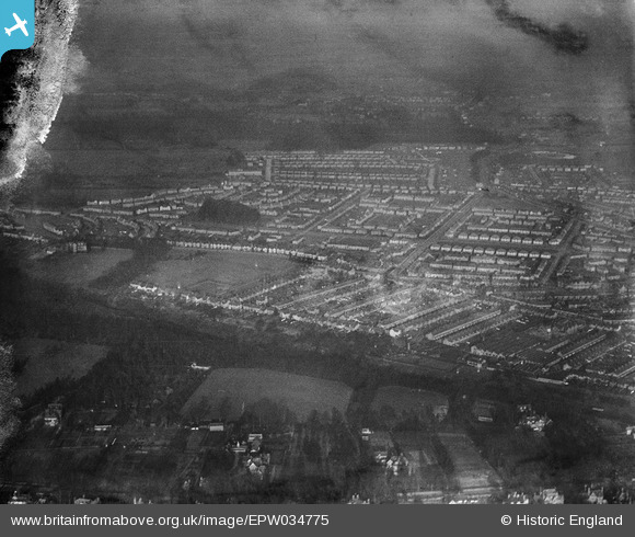
EPW034775 ENGLAND (1931). Residential area around Longspring and Fuller Road, North Watford, 1931
© Copyright OpenStreetMap contributors and licensed by the OpenStreetMap Foundation. 2026. Cartography is licensed as CC BY-SA.
Nearby Images (3)
EPW034775

EPW034772

EPW034776

Details
| Title | [EPW034775] Residential area around Longspring and Fuller Road, North Watford, 1931 |
| Reference | EPW034775 |
| Date | January-1931 |
| Link | |
| Place name | NORTH WATFORD |
| Parish | |
| District | |
| Country | ENGLAND |
| Easting / Northing | 510468, 198577 |
| Longitude / Latitude | -0.40222045717903, 51.674622827041 |
| National Grid Reference | TQ105986 |
Pins
Be the first to add a comment to this image!