
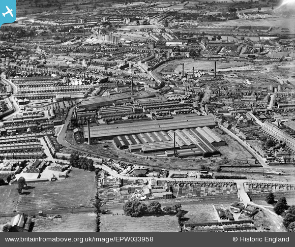
EPW033958 ENGLAND (1930). The English Electric Co Works, Coventry, 1930
© Copyright OpenStreetMap contributors and licensed by the OpenStreetMap Foundation. 2026. Cartography is licensed as CC BY-SA.
Nearby Images (13)
EPW033958

EPW033959

EPW010519

EPW001193

EPW033956

EPW033965

EPW010518

EPW033964

EPW010520

EPW033963

EPW033957

EPW033962

EPW033940

Details
| Title | [EPW033958] The English Electric Co Works, Coventry, 1930 |
| Reference | EPW033958 |
| Date | July-1930 |
| Link | |
| Place name | COVENTRY |
| Parish | |
| District | |
| Country | ENGLAND |
| Easting / Northing | 434533, 280236 |
| Longitude / Latitude | -1.4921731733879, 52.418649416992 |
| National Grid Reference | SP345802 |
Pins

Bob Curtis |
Friday 1st of April 2016 11:28:55 AM | |
|
Bob Curtis |
Friday 1st of April 2016 11:27:50 AM | |
|
Bob Curtis |
Friday 1st of April 2016 11:27:49 AM | |
|
Bob Curtis |
Friday 1st of April 2016 11:04:49 AM |
User Comment Contributions

Because of the occupation of the Ordnance Works by the Admiralty from 1938 this area suffered badly from the bombing |
Bob Curtis |
Monday 4th of April 2016 10:32:05 AM |