
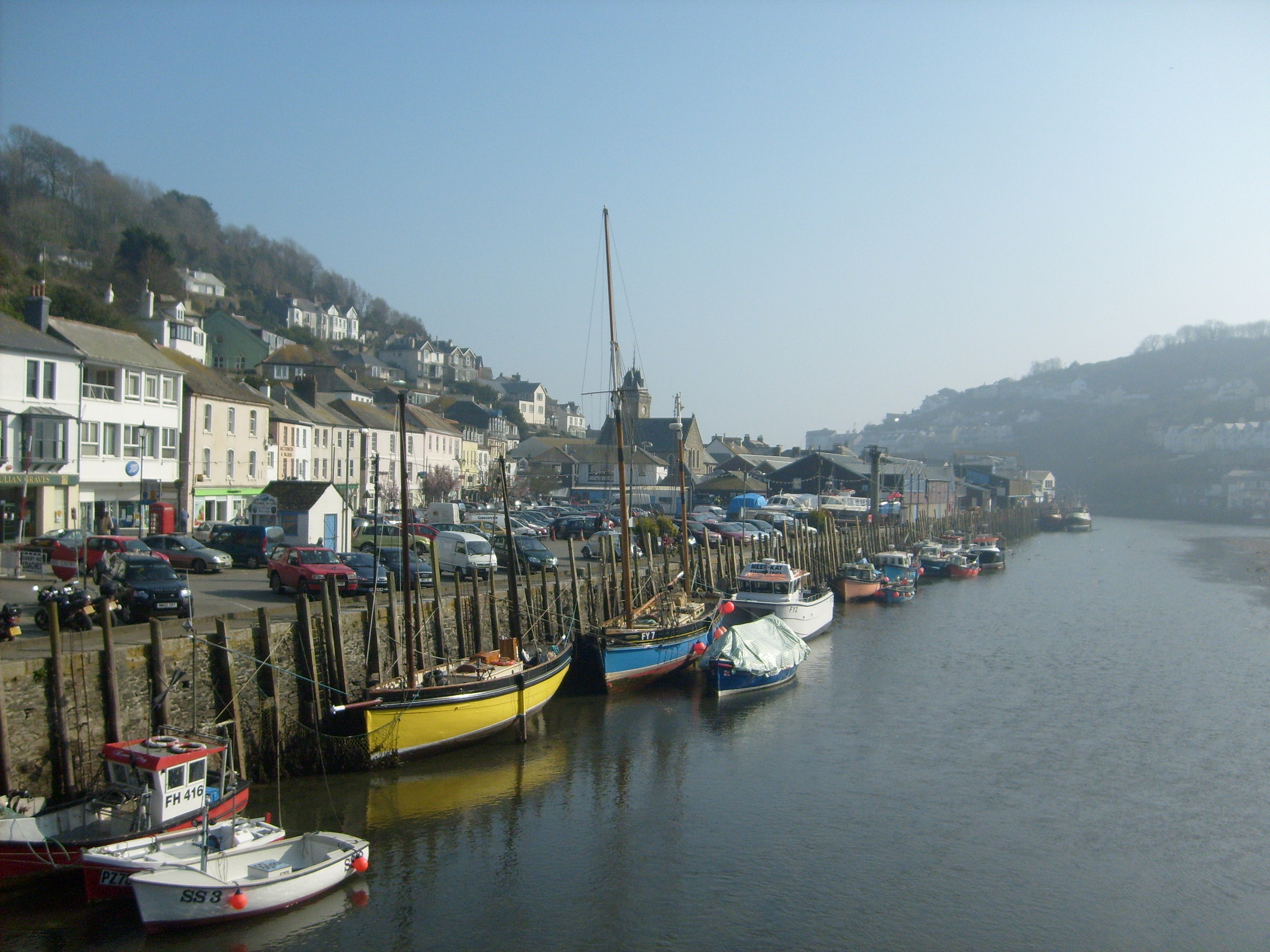
EPW033113 ENGLAND (1930). Looe Harbour and the town, East Looe, 1930

© Copyright OpenStreetMap contributors and licensed by the OpenStreetMap Foundation. 2026. Cartography is licensed as CC BY-SA.
Nearby Images (10)
EPW033113

EAW051360

EAW051356

EPW033112

EAW277527

EPW033109

EPW033108

EAW051357

EAW020277

EPW033053

Details
| Title | [EPW033113] Looe Harbour and the town, East Looe, 1930 |
| Reference | EPW033113 |
| Date | July-1930 |
| Link | |
| Place name | EAST LOOE |
| Parish | LOOE |
| District | |
| Country | ENGLAND |
| Easting / Northing | 225506, 53212 |
| Longitude / Latitude | -4.4531304178911, 50.352312131242 |
| National Grid Reference | SX255532 |


User Comment Contributions
Looe 14/01/2008 |

Class31 |
Tuesday 29th of October 2013 04:51:06 PM |