
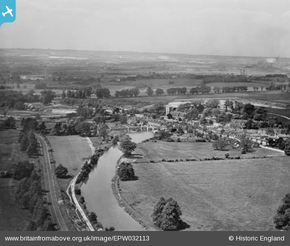
EPW032113 ENGLAND (1930). Aylesford Bridge and the village, Aylesford, from the south-east, 1930. This image has been produced from a copy-negative.
© Copyright OpenStreetMap contributors and licensed by the OpenStreetMap Foundation. 2026. Cartography is licensed as CC BY-SA.
Nearby Images (11)
EPW032113

EPW032112

EPW038100

EPW032114

EPW038096

EAW048694

EAW048695

EPW038105

EPW038104

EAW048696

EPW032111

Details
| Title | [EPW032113] Aylesford Bridge and the village, Aylesford, from the south-east, 1930. This image has been produced from a copy-negative. |
| Reference | EPW032113 |
| Date | May-1930 |
| Link | |
| Place name | AYLESFORD |
| Parish | AYLESFORD |
| District | |
| Country | ENGLAND |
| Easting / Northing | 573137, 158780 |
| Longitude / Latitude | 0.48393288871904, 51.301268233244 |
| National Grid Reference | TQ731588 |
Pins
Be the first to add a comment to this image!