
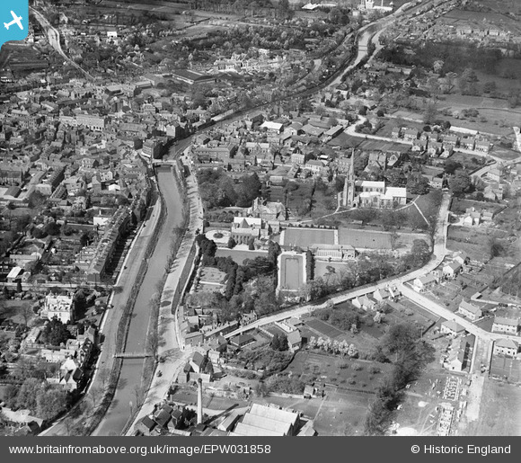
EPW031858 ENGLAND (1930). Ayscoughfee Hall, the River Welland and the town centre, Spalding, 1930
© Copyright OpenStreetMap contributors and licensed by the OpenStreetMap Foundation. 2026. Cartography is licensed as CC BY-SA.
Nearby Images (2)
EPW031858

EPW031851

Details
| Title | [EPW031858] Ayscoughfee Hall, the River Welland and the town centre, Spalding, 1930 |
| Reference | EPW031858 |
| Date | 7-May-1930 |
| Link | |
| Place name | SPALDING |
| Parish | |
| District | |
| Country | ENGLAND |
| Easting / Northing | 524917, 322373 |
| Longitude / Latitude | -0.14759352578913, 52.784125716507 |
| National Grid Reference | TF249224 |
