
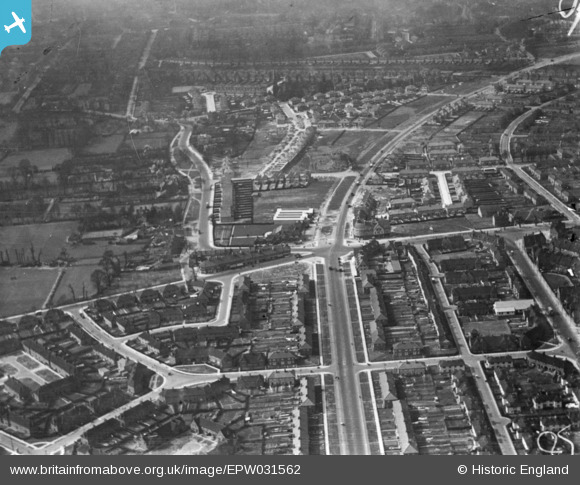
EPW031562 ENGLAND (1930). Western Circus and environs, East Acton, 1930. This image has been produced from a print.
© Copyright OpenStreetMap contributors and licensed by the OpenStreetMap Foundation. 2026. Cartography is licensed as CC BY-SA.
Nearby Images (6)
EPW031562

EPW031464

EPW031462

EPW031465

EPW031463

EPW031281

Details
| Title | [EPW031562] Western Circus and environs, East Acton, 1930. This image has been produced from a print. |
| Reference | EPW031562 |
| Date | February-1930 |
| Link | |
| Place name | EAST ACTON |
| Parish | |
| District | |
| Country | ENGLAND |
| Easting / Northing | 521565, 180852 |
| Longitude / Latitude | -0.24793591109852, 51.513015740578 |
| National Grid Reference | TQ216809 |
Pins

martinmj |
Monday 11th of July 2022 12:52:18 PM | |

Des Elmes |
Wednesday 6th of April 2016 12:47:18 AM | |
|
Des Elmes |
Wednesday 6th of April 2016 12:46:18 AM | |
|
Des Elmes |
Wednesday 6th of April 2016 12:45:42 AM | |
|
Des Elmes |
Wednesday 6th of April 2016 12:45:08 AM | |
|
Des Elmes |
Wednesday 6th of April 2016 12:44:35 AM | |
|
Des Elmes |
Wednesday 6th of April 2016 12:43:41 AM | |
|
Des Elmes |
Wednesday 6th of April 2016 12:42:33 AM | |
|
Des Elmes |
Wednesday 6th of April 2016 12:40:42 AM |