
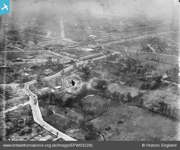
EPW031281 ENGLAND (1930). East Acton Lane and environs, East Acton, 1930
© Copyright OpenStreetMap contributors and licensed by the OpenStreetMap Foundation. 2026. Cartography is licensed as CC BY-SA.
Nearby Images (7)
EPW031281

EPW031559

EPW031284

EPW031465

EPW031562

EPW031464

EPW031462

Details
| Title | [EPW031281] East Acton Lane and environs, East Acton, 1930 |
| Reference | EPW031281 |
| Date | 11-February-1930 |
| Link | |
| Place name | EAST ACTON |
| Parish | |
| District | |
| Country | ENGLAND |
| Easting / Northing | 521338, 180677 |
| Longitude / Latitude | -0.25126616806067, 51.511491595947 |
| National Grid Reference | TQ213807 |
Pins

Des Elmes |
Wednesday 6th of April 2016 12:31:51 AM | |
|
Des Elmes |
Wednesday 6th of April 2016 12:31:05 AM | |
|
Des Elmes |
Wednesday 6th of April 2016 12:29:11 AM | |
|
Des Elmes |
Wednesday 6th of April 2016 12:28:34 AM | |
|
Des Elmes |
Wednesday 6th of April 2016 12:27:34 AM | |
|
Des Elmes |
Wednesday 6th of April 2016 12:26:44 AM | |

Bellhop |
Wednesday 22nd of May 2013 11:09:19 PM |