
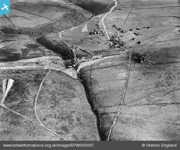
EPW030007 ENGLAND (1929). Gorple Lower Reservoir under construction, Black Moor, 1929
© Copyright OpenStreetMap contributors and licensed by the OpenStreetMap Foundation. 2026. Cartography is licensed as CC BY-SA.
Nearby Images (6)
EPW030007

EPW030004

EPW030003

EPW030006

EPW029996

EPW029998

Details
| Title | [EPW030007] Gorple Lower Reservoir under construction, Black Moor, 1929 |
| Reference | EPW030007 |
| Date | October-1929 |
| Link | |
| Place name | BLACK MOOR |
| Parish | HEPTONSTALL |
| District | |
| Country | ENGLAND |
| Easting / Northing | 394348, 431346 |
| Longitude / Latitude | -2.0857778545045, 53.778198472208 |
| National Grid Reference | SD943313 |
Pins
Be the first to add a comment to this image!