
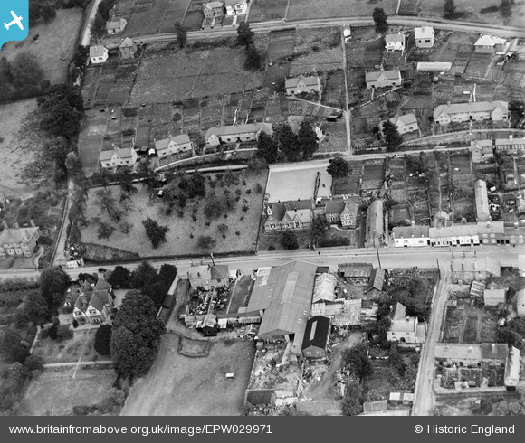
EPW029971 ENGLAND (1929). School on The Homend and environs, Ledbury, 1929
© Copyright OpenStreetMap contributors and licensed by the OpenStreetMap Foundation. 2026. Cartography is licensed as CC BY-SA.
Nearby Images (3)
EPW029971

EPW029967

EPW029970

Details
| Title | [EPW029971] School on The Homend and environs, Ledbury, 1929 |
| Reference | EPW029971 |
| Date | September-1929 |
| Link | |
| Place name | LEDBURY |
| Parish | LEDBURY |
| District | |
| Country | ENGLAND |
| Easting / Northing | 370962, 238219 |
| Longitude / Latitude | -2.4234130943264, 52.041188061579 |
| National Grid Reference | SO710382 |
Pins
Be the first to add a comment to this image!