
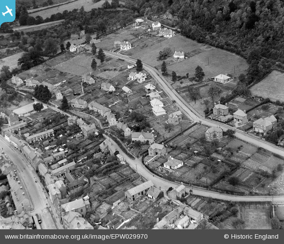
EPW029970 ENGLAND (1929). Homend Crescent, Ledbury, 1929
© Copyright OpenStreetMap contributors and licensed by the OpenStreetMap Foundation. 2026. Cartography is licensed as CC BY-SA.
Nearby Images (3)
EPW029970

EPW029967

EPW029971

Details
| Title | [EPW029970] Homend Crescent, Ledbury, 1929 |
| Reference | EPW029970 |
| Date | September-1929 |
| Link | |
| Place name | LEDBURY |
| Parish | LEDBURY |
| District | |
| Country | ENGLAND |
| Easting / Northing | 371066, 238098 |
| Longitude / Latitude | -2.4218864360856, 52.04010553691 |
| National Grid Reference | SO711381 |
