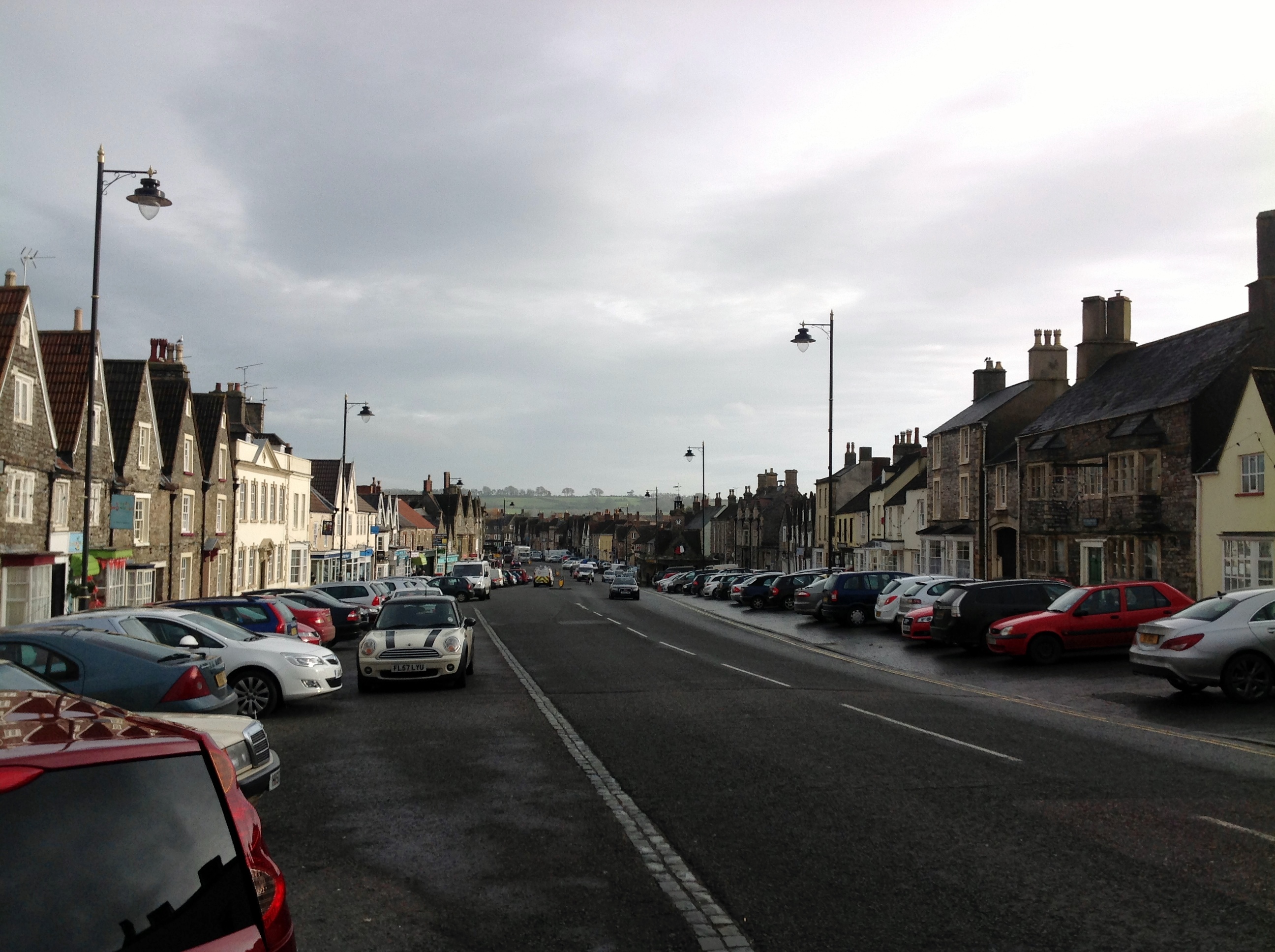
EPW029279 ENGLAND (1929). St John the Baptist's Church and the High Street, Chipping Sodbury, 1929

© Copyright OpenStreetMap contributors and licensed by the OpenStreetMap Foundation. 2026. Cartography is licensed as CC BY-SA.
Nearby Images (12)
EPW029279

EPW029280

EPW029278

EPW024114

EPW029281

EAW020915

EAW020916

EPW024115

EAW020914

EPW024128

EPW029286

EPW029287

Details
| Title | [EPW029279] St John the Baptist's Church and the High Street, Chipping Sodbury, 1929 |
| Reference | EPW029279 |
| Date | September-1929 |
| Link | |
| Place name | CHIPPING SODBURY |
| Parish | SODBURY |
| District | |
| Country | ENGLAND |
| Easting / Northing | 372721, 182245 |
| Longitude / Latitude | -2.3933623799921, 51.537967712239 |
| National Grid Reference | ST727822 |
Pins
Be the first to add a comment to this image!