
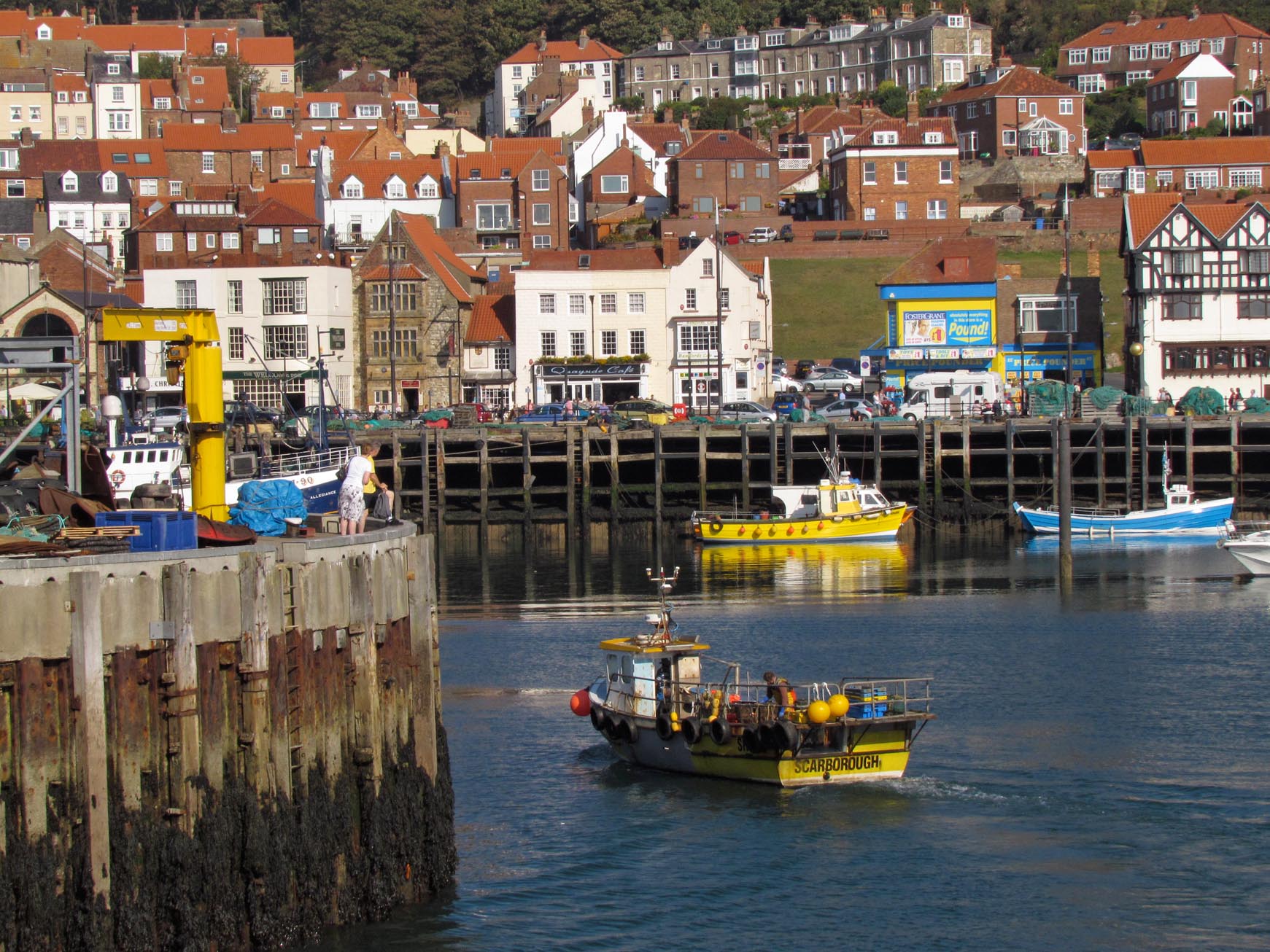
EPW029089 ENGLAND (1929). The Old Harbour and East Harbour, Scarborough, 1929. This image has been produced from a copy-negative.

© Copyright OpenStreetMap contributors and licensed by the OpenStreetMap Foundation. 2026. Cartography is licensed as CC BY-SA.
Nearby Images (8)
EPW029089

EAW016694

EAW016688

EAW016690

EAW007948

EPW018341

EAW007941

EPW038935

Details
| Title | [EPW029089] The Old Harbour and East Harbour, Scarborough, 1929. This image has been produced from a copy-negative. |
| Reference | EPW029089 |
| Date | 12-September-1929 |
| Link | |
| Place name | SCARBOROUGH |
| Parish | |
| District | |
| Country | ENGLAND |
| Easting / Northing | 504909, 488640 |
| Longitude / Latitude | -0.38839528248485, 54.28245689798 |
| National Grid Reference | TA049886 |
Pins

Captain ants |
Sunday 24th of May 2020 10:37:35 AM |
User Comment Contributions

Scarborough Bay Beach |

Alan McFaden |
Tuesday 18th of November 2014 03:20:33 PM |
Scarborough Harbour |
Alan McFaden |
Tuesday 18th of November 2014 03:19:51 PM |
Scarborough Fishermen's Dock |
Alan McFaden |
Tuesday 18th of November 2014 03:19:23 PM |