
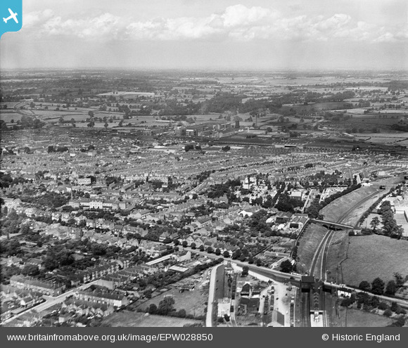
EPW028850 ENGLAND (1929). The British Thomson-Houston Electrical Engineering Works and the town, Rugby, from the south, 1929
© Copyright OpenStreetMap contributors and licensed by the OpenStreetMap Foundation. 2025. Cartography is licensed as CC BY-SA.
Nearby Images (2)
EPW028850

EPW010528

Details
| Title | [EPW028850] The British Thomson-Houston Electrical Engineering Works and the town, Rugby, from the south, 1929 |
| Reference | EPW028850 |
| Date | 30-August-1929 |
| Link | |
| Place name | RUGBY |
| Parish | |
| District | |
| Country | ENGLAND |
| Easting / Northing | 451223, 274838 |
| Longitude / Latitude | -1.2475825768909, 52.368810745874 |
| National Grid Reference | SP512748 |
Pins

Aaronsutcliffe |
Thursday 23rd of April 2020 03:39:10 PM | |
|
Aaronsutcliffe |
Thursday 23rd of April 2020 03:38:35 PM | |
|
Aaronsutcliffe |
Thursday 23rd of April 2020 03:37:48 PM | |
|
Aaronsutcliffe |
Thursday 23rd of April 2020 03:36:08 PM | |
|
Ian Robinson |
Friday 25th of October 2013 06:43:32 PM | |
Closed 1969. |
John W |
Sunday 21st of May 2017 09:38:37 PM |