
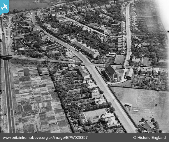
EPW028357 ENGLAND (1929). St Hilda's Church and Woodthorpe Road, Ashford, 1929
© Copyright OpenStreetMap contributors and licensed by the OpenStreetMap Foundation. 2026. Cartography is licensed as CC BY-SA.
Nearby Images (5)
EPW028357

EPW028364

EPW023518

EPW028355

EPW023522

Details
| Title | [EPW028357] St Hilda's Church and Woodthorpe Road, Ashford, 1929 |
| Reference | EPW028357 |
| Date | 10-August-1929 |
| Link | |
| Place name | ASHFORD |
| Parish | |
| District | |
| Country | ENGLAND |
| Easting / Northing | 506315, 171749 |
| Longitude / Latitude | -0.47037694613782, 51.434262162212 |
| National Grid Reference | TQ063717 |
Pins
Be the first to add a comment to this image!