
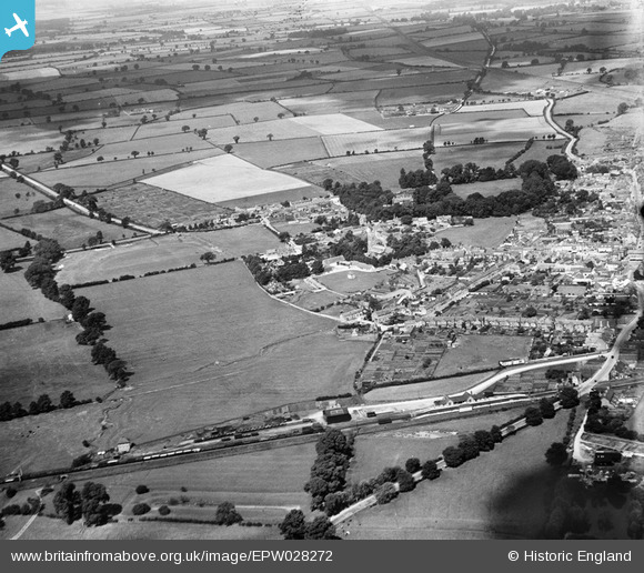
EPW028272 ENGLAND (1929). King's End, Bicester, from the south-west, 1929
© Copyright OpenStreetMap contributors and licensed by the OpenStreetMap Foundation. 2026. Cartography is licensed as CC BY-SA.
Nearby Images (2)
EPW028272

EPW028271

Details
| Title | [EPW028272] King's End, Bicester, from the south-west, 1929 |
| Reference | EPW028272 |
| Date | August-1929 |
| Link | |
| Place name | BICESTER |
| Parish | BICESTER |
| District | |
| Country | ENGLAND |
| Easting / Northing | 458578, 221899 |
| Longitude / Latitude | -1.1486773860006, 51.892123574695 |
| National Grid Reference | SP586219 |
Pins
Be the first to add a comment to this image!