
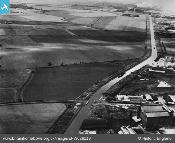
EPW028119 ENGLAND (1929). The Bridgewater Canal and adjacent fields, Trafford Park, 1929. This image has been produced from a print.
© Copyright OpenStreetMap contributors and licensed by the OpenStreetMap Foundation. 2025. Cartography is licensed as CC BY-SA.
Nearby Images (2)
EPW028119

EPW027824

Details
| Title | [EPW028119] The Bridgewater Canal and adjacent fields, Trafford Park, 1929. This image has been produced from a print. |
| Reference | EPW028119 |
| Date | July-1929 |
| Link | |
| Place name | TRAFFORD PARK |
| Parish | |
| District | |
| Country | ENGLAND |
| Easting / Northing | 378362, 396255 |
| Longitude / Latitude | -2.3259482504845, 53.462341776476 |
| National Grid Reference | SJ784963 |
Pins

Stretfordian |
Tuesday 13th of December 2016 11:03:56 PM | |
|
Stretfordian |
Tuesday 13th of December 2016 11:02:24 PM | |
|
Stretfordian |
Tuesday 13th of December 2016 11:00:39 PM | |
|
Stretfordian |
Tuesday 13th of December 2016 10:58:44 PM |