
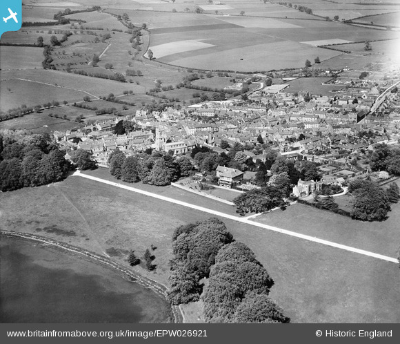
EPW026921 ENGLAND (1929). The town, Woodstock, from the south-west, 1929
© Copyright OpenStreetMap contributors and licensed by the OpenStreetMap Foundation. 2026. Cartography is licensed as CC BY-SA.
Nearby Images (6)
EPW026921

EPW026915

EAW014902

EPW026922

EPW026918

EPW026916

Details
| Title | [EPW026921] The town, Woodstock, from the south-west, 1929 |
| Reference | EPW026921 |
| Date | May-1929 |
| Link | |
| Place name | WOODSTOCK |
| Parish | BLENHEIM |
| District | |
| Country | ENGLAND |
| Easting / Northing | 444265, 216526 |
| Longitude / Latitude | -1.3573627812502, 51.845133772149 |
| National Grid Reference | SP443165 |
Pins
Be the first to add a comment to this image!