
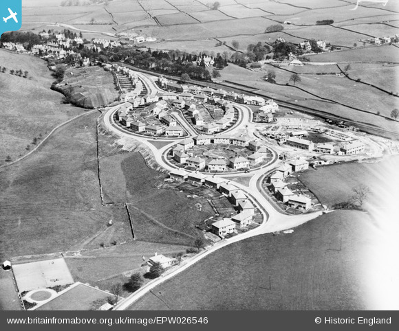
EPW026546 ENGLAND (1929). The Castle Grove housing estate under construction, Kendal, 1929
© Copyright OpenStreetMap contributors and licensed by the OpenStreetMap Foundation. 2025. Cartography is licensed as CC BY-SA.
Nearby Images (6)
EPW026546

EPW038839

EPW026757

EPW038840

EPW026546A

EPW026758

Details
| Title | [EPW026546] The Castle Grove housing estate under construction, Kendal, 1929 |
| Reference | EPW026546 |
| Date | May-1929 |
| Link | |
| Place name | KENDAL |
| Parish | KENDAL |
| District | |
| Country | ENGLAND |
| Easting / Northing | 352511, 492258 |
| Longitude / Latitude | -2.730225064084, 54.323535130397 |
| National Grid Reference | SD525923 |
Pins
Be the first to add a comment to this image!