
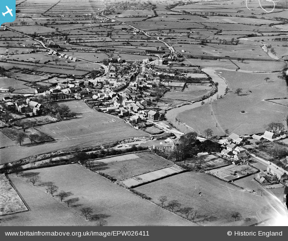
EPW026411 ENGLAND (1929). The town and surrounding countryside, Garstang, 1929
© Copyright OpenStreetMap contributors and licensed by the OpenStreetMap Foundation. 2026. Cartography is licensed as CC BY-SA.
Nearby Images (5)
EPW026411

EPW026412

EPW026415

EPW026414

EPW026410

Details
| Title | [EPW026411] The town and surrounding countryside, Garstang, 1929 |
| Reference | EPW026411 |
| Date | April-1929 |
| Link | |
| Place name | GARSTANG |
| Parish | GARSTANG |
| District | |
| Country | ENGLAND |
| Easting / Northing | 349250, 445045 |
| Longitude / Latitude | -2.7724346956047, 53.898884158304 |
| National Grid Reference | SD493450 |
