
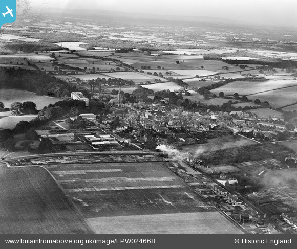
EPW024668 ENGLAND (1928). The town, Petworth, from the south-west, 1928
© Copyright OpenStreetMap contributors and licensed by the OpenStreetMap Foundation. 2026. Cartography is licensed as CC BY-SA.
Nearby Images (3)
EPW024668

EPW024665

EPW024667

Details
| Title | [EPW024668] The town, Petworth, from the south-west, 1928 |
| Reference | EPW024668 |
| Date | September-1928 |
| Link | |
| Place name | PETWORTH |
| Parish | PETWORTH |
| District | |
| Country | ENGLAND |
| Easting / Northing | 497528, 121459 |
| Longitude / Latitude | -0.61043508344686, 50.983722113187 |
| National Grid Reference | SU975215 |
Pins

Stephen Mirrington |
Tuesday 22nd of June 2021 11:13:56 AM | |

Alan McFaden |
Wednesday 10th of September 2014 10:19:26 AM | |
|
Alan McFaden |
Wednesday 10th of September 2014 10:18:40 AM | |
|
Alan McFaden |
Wednesday 10th of September 2014 10:17:24 AM | |
|
percommode |
Monday 16th of December 2013 10:30:53 PM |


User Comment Contributions
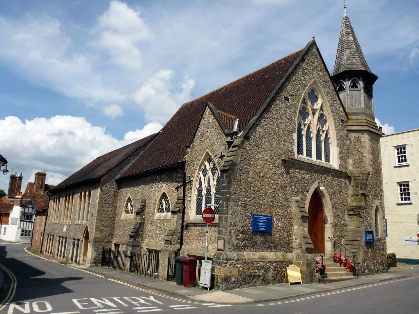
Petworth United Reformed Church |
Alan McFaden |
Wednesday 10th of September 2014 10:22:30 AM |
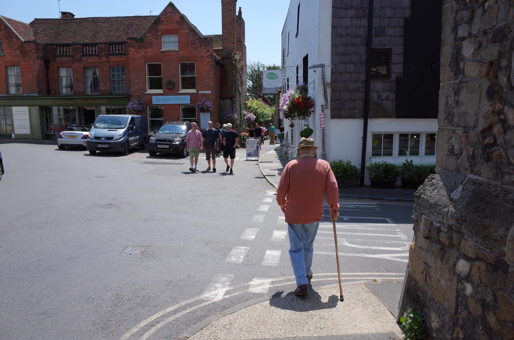
Petworth |
Alan McFaden |
Wednesday 10th of September 2014 10:21:47 AM |
Petworth |
Alan McFaden |
Wednesday 10th of September 2014 10:21:26 AM |
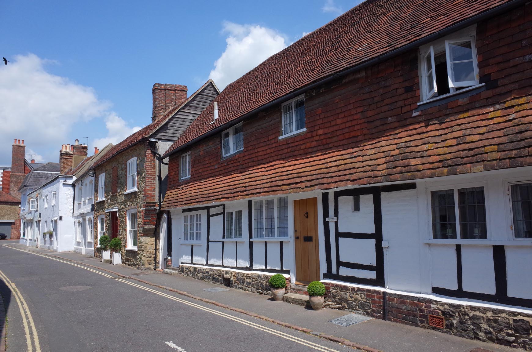
Petworth |
Alan McFaden |
Wednesday 10th of September 2014 10:21:10 AM |
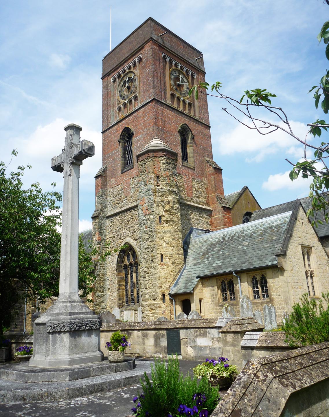
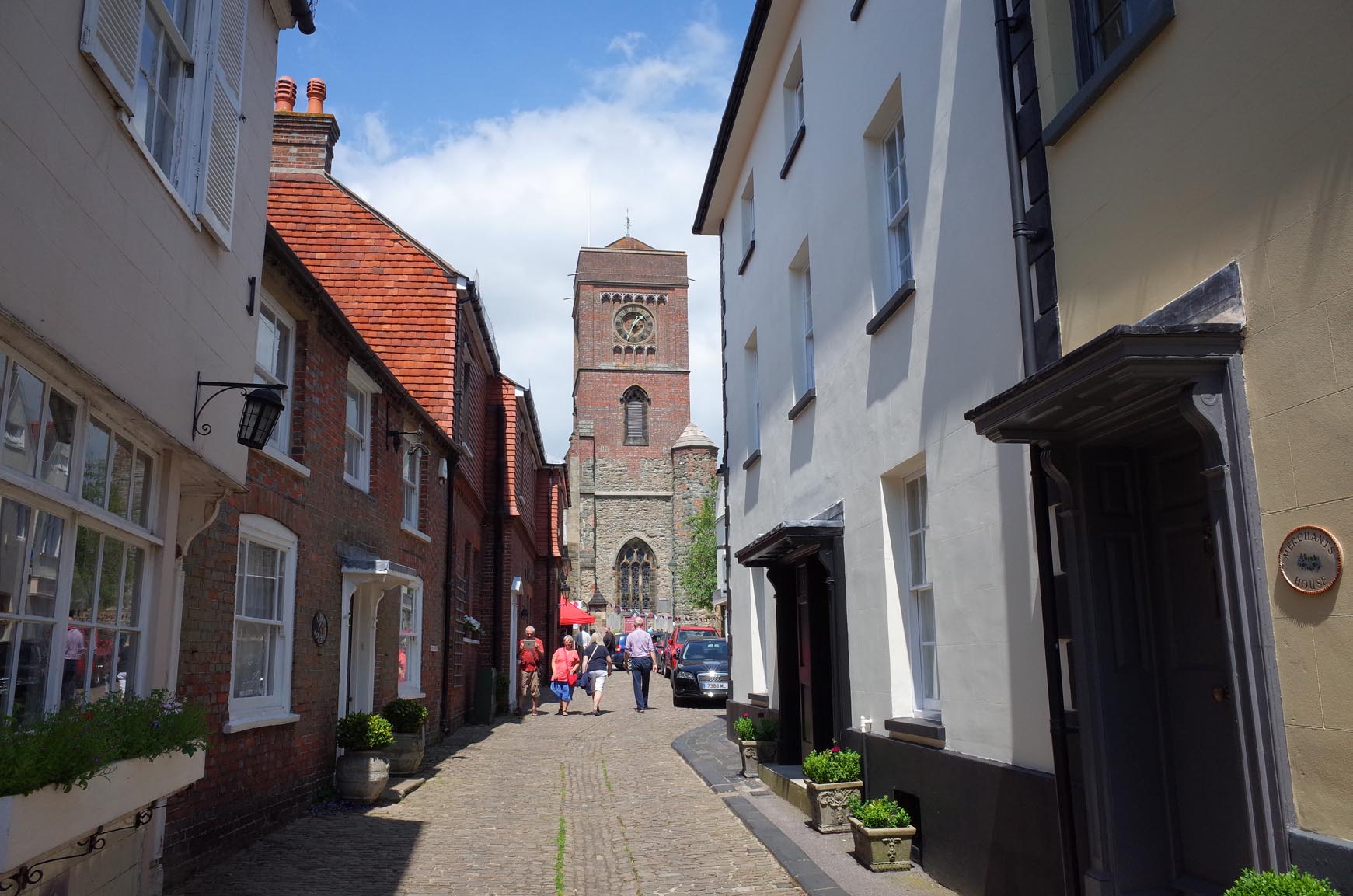
Saint Mary the Virgin Church |
Alan McFaden |
Wednesday 10th of September 2014 10:20:52 AM |

Petworth House |
Alan McFaden |
Wednesday 10th of September 2014 10:18:07 AM |
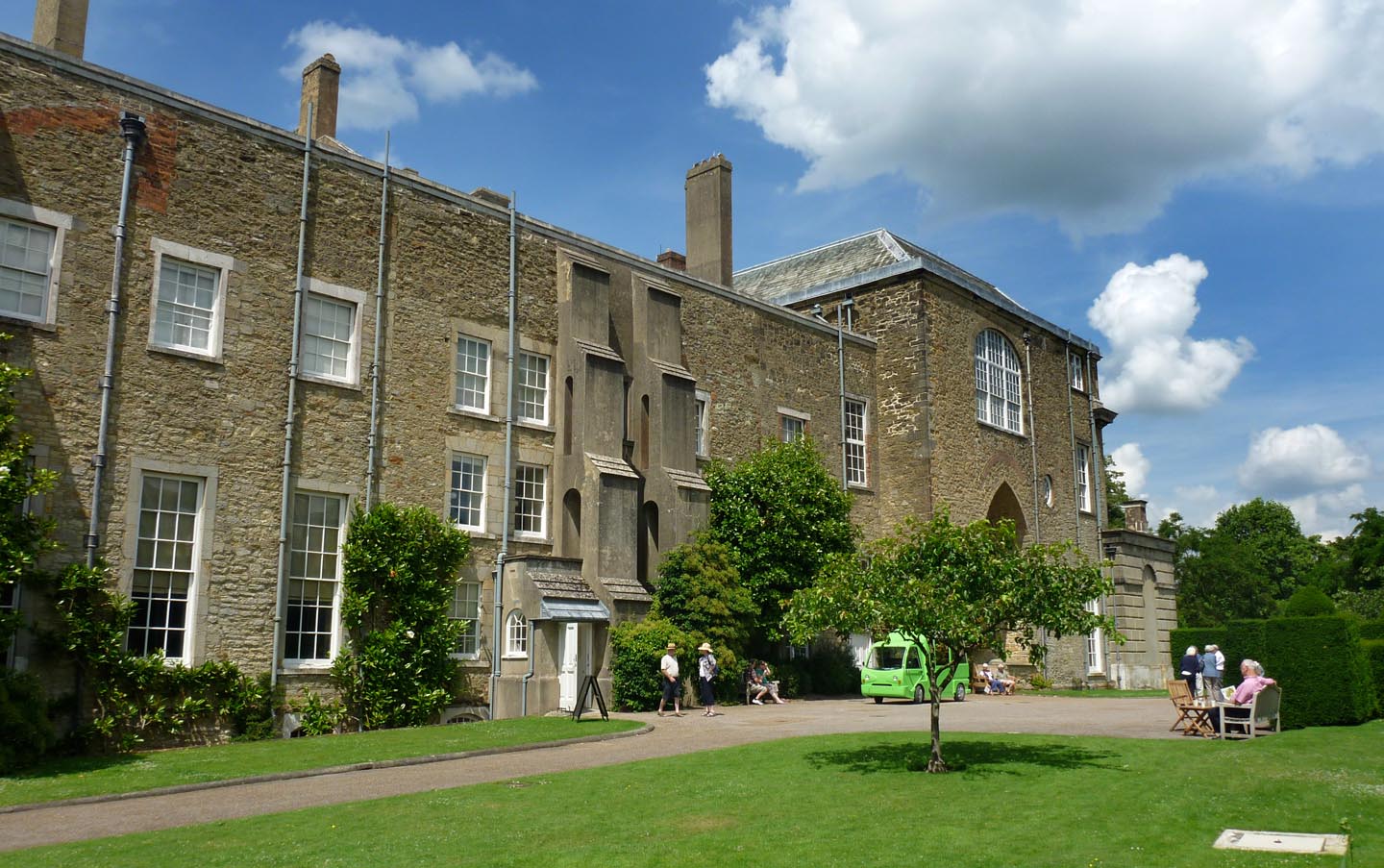
Petworth House |
Alan McFaden |
Wednesday 10th of September 2014 10:17:48 AM |