
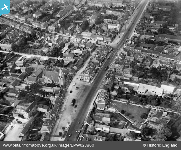
EPW023860 ENGLAND (1928). The High Street and Middle Row, Dunstable, 1928
© Copyright OpenStreetMap contributors and licensed by the OpenStreetMap Foundation. 2026. Cartography is licensed as CC BY-SA.
Nearby Images (10)
EPW023860

EPW056927

EPW014815

EPW023863

EPW056929

EPW056928

EPW023859

EPW023862

EPW023861

EPW056924

Details
| Title | [EPW023860] The High Street and Middle Row, Dunstable, 1928 |
| Reference | EPW023860 |
| Date | September-1928 |
| Link | |
| Place name | DUNSTABLE |
| Parish | DUNSTABLE |
| District | |
| Country | ENGLAND |
| Easting / Northing | 501936, 221788 |
| Longitude / Latitude | -0.51876112791997, 51.884881900921 |
| National Grid Reference | TL019218 |
