
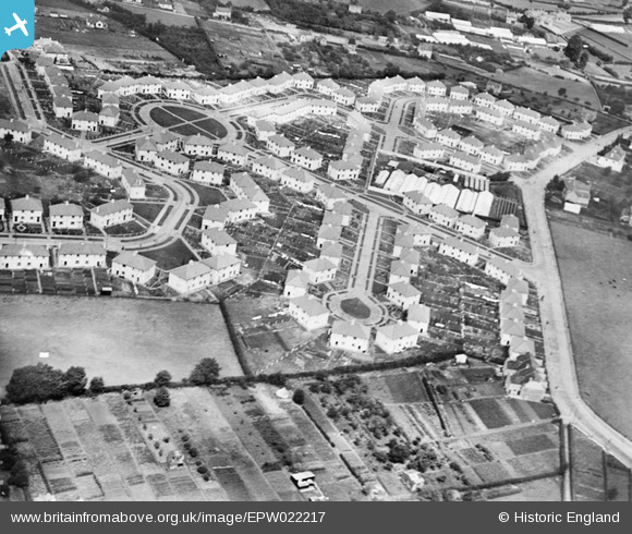
EPW022217 ENGLAND (1928). Southdown, Bath, 1928
© Copyright OpenStreetMap contributors and licensed by the OpenStreetMap Foundation. 2026. Cartography is licensed as CC BY-SA.
Nearby Images (13)
EPW022217

EPW022214

EPW022218

EPW022213

EPW048401

EPW022215

EPW048400

EAW032290

EAW032288

EAW032286

EAW026391

EPW022216

EAW026392

Details
| Title | [EPW022217] Southdown, Bath, 1928 |
| Reference | EPW022217 |
| Date | 30-July-1928 |
| Link | |
| Place name | BATH |
| Parish | |
| District | |
| Country | ENGLAND |
| Easting / Northing | 372798, 163360 |
| Longitude / Latitude | -2.3907993918558, 51.368150539893 |
| National Grid Reference | ST728634 |
Pins

Class31 |
Wednesday 31st of July 2013 04:55:28 PM | |
|
Class31 |
Tuesday 10th of July 2012 11:39:14 AM | |
|
Class31 |
Tuesday 10th of July 2012 11:38:53 AM | |
|
Class31 |
Tuesday 10th of July 2012 11:38:21 AM | |
|
Class31 |
Tuesday 10th of July 2012 11:37:38 AM | |
|
Class31 |
Tuesday 10th of July 2012 11:37:06 AM |
