
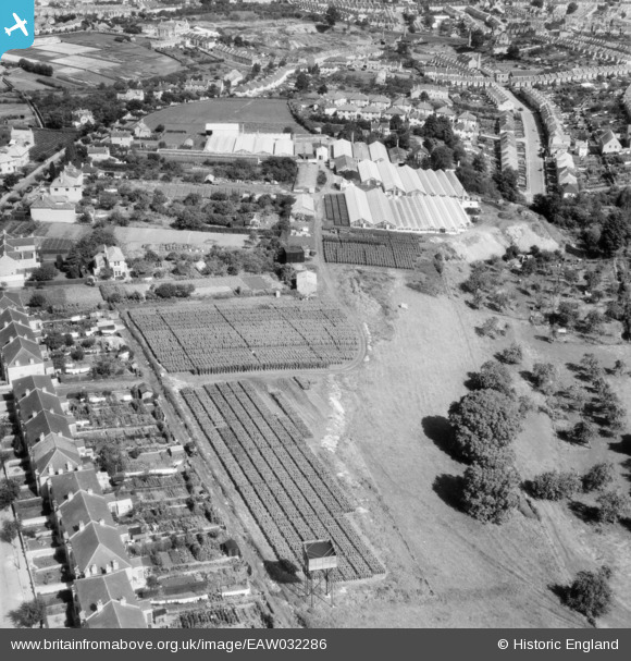
EAW032286 ENGLAND (1950). Nursery between Southdown Road and Coronation Avenue, Southdown, 1950
© Copyright OpenStreetMap contributors and licensed by the OpenStreetMap Foundation. 2026. Cartography is licensed as CC BY-SA.
Nearby Images (20)
EAW032286

EAW026391

EAW032288

EAW032290

EAW026392

EAW026389

EPW022216

EAW032292

EAW032287

EAW032291

EAW026390

EAW032289

EPW022215

EPW048401

EPW022213

EAW026393

EAW026394

EPW022217

EPW022218

EPW022214

Details
| Title | [EAW032286] Nursery between Southdown Road and Coronation Avenue, Southdown, 1950 |
| Reference | EAW032286 |
| Date | 5-September-1950 |
| Link | |
| Place name | SOUTHDOWN |
| Parish | |
| District | |
| Country | ENGLAND |
| Easting / Northing | 373003, 163478 |
| Longitude / Latitude | -2.3878632828508, 51.369221440648 |
| National Grid Reference | ST730635 |
Pins

Class31 |
Friday 27th of March 2015 05:29:32 PM | |
|
Class31 |
Friday 27th of March 2015 05:28:41 PM | |
|
Class31 |
Friday 27th of March 2015 05:27:43 PM | |
|
Class31 |
Friday 27th of March 2015 05:26:29 PM | |
|
Class31 |
Friday 27th of March 2015 05:25:20 PM | |
|
Class31 |
Friday 27th of March 2015 05:23:36 PM | |
|
Class31 |
Friday 27th of March 2015 05:19:39 PM | |
|
Class31 |
Monday 1st of December 2014 03:46:42 PM |


