
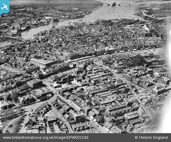
EPW021192 ENGLAND (1928). The town centre, Great Yarmouth, 1928
© Copyright OpenStreetMap contributors and licensed by the OpenStreetMap Foundation. 2026. Cartography is licensed as CC BY-SA.
Nearby Images (5)
EPW021192

EAW052976

EPW021191

EAW052972

EPW001879

Details
| Title | [EPW021192] The town centre, Great Yarmouth, 1928 |
| Reference | EPW021192 |
| Date | May-1928 |
| Link | |
| Place name | GREAT YARMOUTH |
| Parish | |
| District | |
| Country | ENGLAND |
| Easting / Northing | 652493, 307637 |
| Longitude / Latitude | 1.729666935512, 52.607361597574 |
| National Grid Reference | TG525076 |
Pins

John Frosdick |
Thursday 3rd of December 2015 01:45:44 AM | |
|
John Frosdick |
Thursday 3rd of December 2015 01:44:36 AM | |
|
John Frosdick |
Wednesday 25th of November 2015 12:07:25 AM | |
|
John Frosdick |
Wednesday 25th of November 2015 12:05:10 AM | |
|
John Frosdick |
Tuesday 24th of November 2015 11:59:33 PM | |
|
John Frosdick |
Tuesday 24th of November 2015 11:56:55 PM | |
|
John Frosdick |
Tuesday 24th of November 2015 02:41:15 AM | |
|
John Frosdick |
Tuesday 24th of November 2015 02:27:16 AM | |
|
John Frosdick |
Tuesday 24th of November 2015 02:24:44 AM | |
|
John Frosdick |
Tuesday 24th of November 2015 02:24:06 AM | |
|
John Frosdick |
Tuesday 24th of November 2015 02:21:04 AM | |
|
John Frosdick |
Tuesday 24th of November 2015 02:17:00 AM | |
|
John Frosdick |
Tuesday 24th of November 2015 02:15:24 AM | |
|
John Frosdick |
Tuesday 24th of November 2015 02:04:31 AM | |
|
John Frosdick |
Tuesday 24th of November 2015 02:03:36 AM | |
|
Bill_Gensheet |
Tuesday 13th of October 2015 10:38:06 PM | |
|
John Frosdick |
Sunday 24th of August 2014 07:10:44 AM | |
|
John Frosdick |
Sunday 24th of August 2014 07:09:00 AM | |
|
John Frosdick |
Sunday 24th of August 2014 07:04:18 AM | |
|
John Frosdick |
Sunday 24th of August 2014 06:54:38 AM | |
|
GlenDenny53 |
Monday 9th of June 2014 01:40:55 PM | |
Built in 1903 by the Midland and Great Northern Joint Railway. The 800 foot five span Breydon Viaduct linked Beach Station with the Norfolk & Suffolk Joint Railway line from Yarmouth South Town Station, giving passengers from the Midlands a link with the line to Lowestoft. The viaduct was closed in 1953 when major repairs were anticipated, although it was found to be in good condition when it was demolished in 1962. (Information from http://www.disused-stations.org.uk/y/yarmouth_beach/index.shtml) |
John W |
Friday 5th of August 2016 06:06:04 PM |
|
c.c |
Wednesday 12th of September 2012 01:46:44 PM | |
|
c.c |
Tuesday 4th of September 2012 03:53:44 PM | |
|
c.c |
Tuesday 4th of September 2012 03:53:34 PM |