
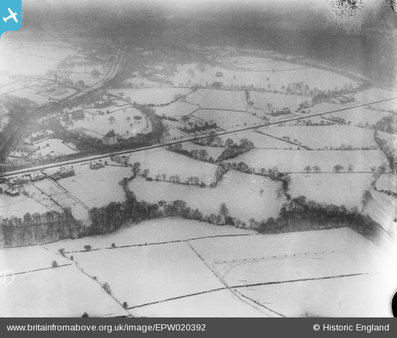
EPW020392 ENGLAND (1928). Housing in the snow around Whirlowdale Road, Whirlow, 1928
© Copyright OpenStreetMap contributors and licensed by the OpenStreetMap Foundation. 2026. Cartography is licensed as CC BY-SA.
Nearby Images (6)
EPW020392

EPW020393

EPW020395

EPW020394

EPW020397

EAW042407

Details
| Title | [EPW020392] Housing in the snow around Whirlowdale Road, Whirlow, 1928 |
| Reference | EPW020392 |
| Date | March-1928 |
| Link | |
| Place name | WHIRLOW |
| Parish | |
| District | |
| Country | ENGLAND |
| Easting / Northing | 431569, 382601 |
| Longitude / Latitude | -1.525825471061, 53.339100144168 |
| National Grid Reference | SK316826 |
Pins
Be the first to add a comment to this image!