
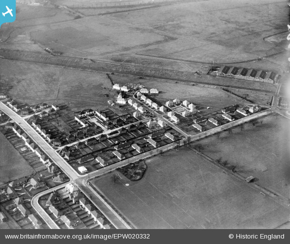
EPW020332 ENGLAND (1928). Walton Way and Public Playing Fields, Acton, 1928
© Copyright OpenStreetMap contributors and licensed by the OpenStreetMap Foundation. 2026. Cartography is licensed as CC BY-SA.
Nearby Images (16)
EPW020332

EPW020336

EPW020334

EPW020337

EPW020337
EPW020857

EPW020338

EPW020331

EPW020331
EPW020335

EPW020333

EPW021148

EPW020880

EPW021151

EPW020878

EPW020882

Details
| Title | [EPW020332] Walton Way and Public Playing Fields, Acton, 1928 |
| Reference | EPW020332 |
| Date | February-1928 |
| Link | |
| Place name | ACTON |
| Parish | |
| District | |
| Country | ENGLAND |
| Easting / Northing | 519821, 181561 |
| Longitude / Latitude | -0.27281797688933, 51.519761148043 |
| National Grid Reference | TQ198816 |
Pins
Be the first to add a comment to this image!