
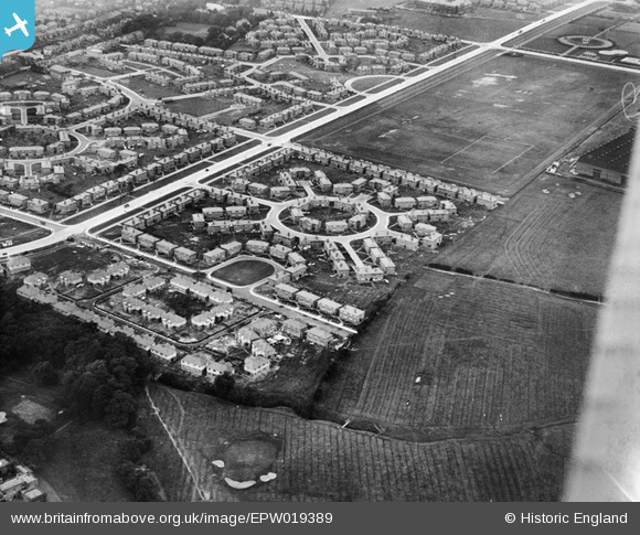
EPW019389 ENGLAND (1927). Eastern Circle, Burnage, 1927
© Copyright OpenStreetMap contributors and licensed by the OpenStreetMap Foundation. 2026. Cartography is licensed as CC BY-SA.
Nearby Images (3)
EPW019389

EPW019122

EPW019387

Details
| Title | [EPW019389] Eastern Circle, Burnage, 1927 |
| Reference | EPW019389 |
| Date | 30-September-1927 |
| Link | |
| Place name | BURNAGE |
| Parish | |
| District | |
| Country | ENGLAND |
| Easting / Northing | 387199, 392534 |
| Longitude / Latitude | -2.192680063989, 53.429180836184 |
| National Grid Reference | SJ872925 |
Pins

DreamReiver |
Saturday 3rd of September 2016 04:00:07 PM | |
|
John Ellis |
Monday 27th of August 2012 05:45:41 PM | |
|
John Ellis |
Monday 27th of August 2012 05:45:13 PM | |
|
John Ellis |
Monday 27th of August 2012 05:44:21 PM | |
|
John Ellis |
Monday 27th of August 2012 05:04:38 PM | |
|
John Ellis |
Monday 27th of August 2012 04:56:42 PM | |
|
John Ellis |
Monday 27th of August 2012 04:56:15 PM | |
|
John Ellis |
Monday 27th of August 2012 04:55:50 PM | |
|
John Ellis |
Monday 27th of August 2012 04:55:21 PM | |
|
John Ellis |
Monday 27th of August 2012 04:54:57 PM | |
|
John Ellis |
Monday 27th of August 2012 04:52:55 PM | |
|
John Ellis |
Monday 27th of August 2012 04:52:11 PM | |
|
John Ellis |
Monday 27th of August 2012 04:51:45 PM | |
|
John Ellis |
Monday 27th of August 2012 04:51:19 PM |