
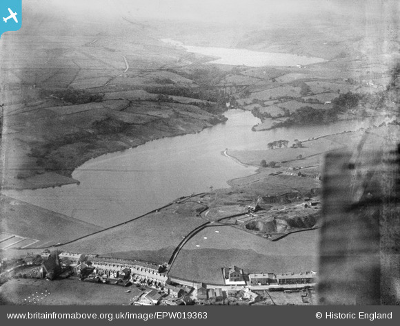
EPW019363 ENGLAND (1927). The Wayoh Reservoir, Edgworth, 1927
© Copyright OpenStreetMap contributors and licensed by the OpenStreetMap Foundation. 2026. Cartography is licensed as CC BY-SA.
Nearby Images (7)
EPW019363

EPW019611

EPW019608

EPW019609

EPW019364

EPW019610

EAW002681
 and Edgworth Quarry, Edgworth, 1946")
Details
| Title | [EPW019363] The Wayoh Reservoir, Edgworth, 1927 |
| Reference | EPW019363 |
| Date | September-1927 |
| Link | |
| Place name | EDGWORTH |
| Parish | NORTH TURTON |
| District | |
| Country | ENGLAND |
| Easting / Northing | 373461, 416613 |
| Longitude / Latitude | -2.4015022731586, 53.645118930743 |
| National Grid Reference | SD735166 |
