
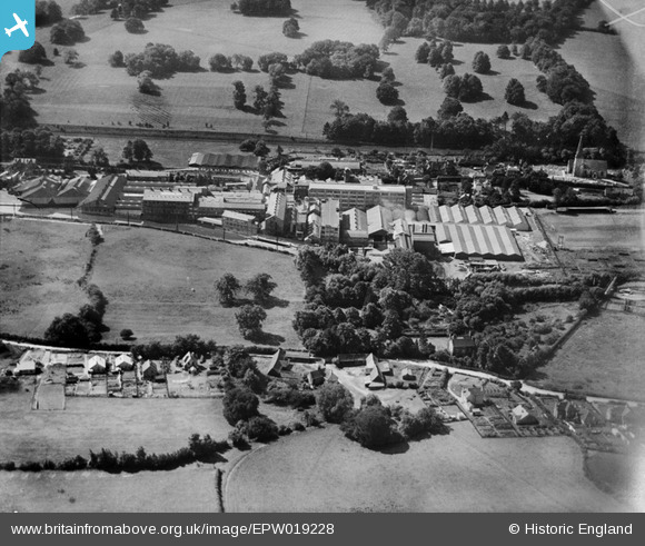
EPW019228 ENGLAND (1927). Apsley Paper Mills, Apsley, 1927
© Copyright OpenStreetMap contributors and licensed by the OpenStreetMap Foundation. 2026. Cartography is licensed as CC BY-SA.
Nearby Images (44)
EPW019228

EPW031459

EPW015686

EPW048259

EPW001248

EPW015682

EPW048251

EPW060992

EPW048257

EPW048260

EPW031596

EPW015681

EPW015688

EAW022320

EPW048262

EPW048254

EPW048261

EPW016003

EPW046724

EPW001249

EPW031461

EAW022325

EPW015689

EPW015687

EPW031458

EPW015683

EPW001247

EPW016002

EPW048253

EPW022460

EPW025948

EPW031597

EPW046725

EPW031515

EPW031520

EPW015685

EPW031598

EPW031517

EPW031604

EPW015684

EPW016000

EPW031521

EAW022317

EAW022318

Details
| Title | [EPW019228] Apsley Paper Mills, Apsley, 1927 |
| Reference | EPW019228 |
| Date | August-1927 |
| Link | |
| Place name | APSLEY |
| Parish | |
| District | |
| Country | ENGLAND |
| Easting / Northing | 506299, 205106 |
| Longitude / Latitude | -0.46050477134179, 51.734116242454 |
| National Grid Reference | TL063051 |
Pins
Be the first to add a comment to this image!