
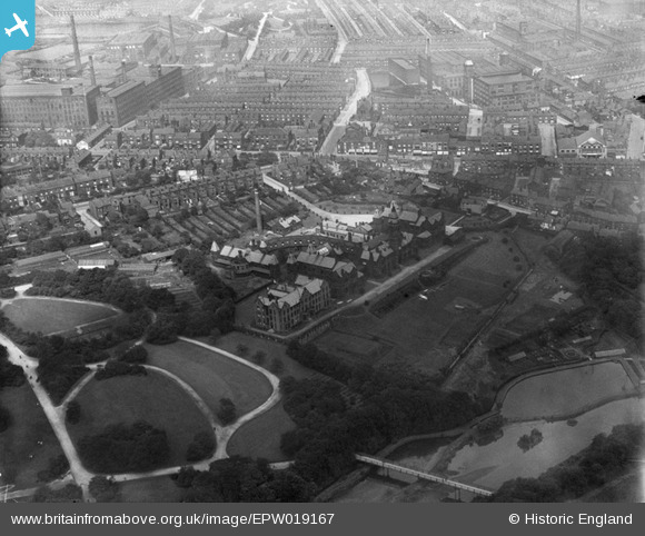
EPW019167 ENGLAND (1927). The Bolton Infirmary and environs, Bolton, 1927
© Copyright OpenStreetMap contributors and licensed by the OpenStreetMap Foundation. 2026. Cartography is licensed as CC BY-SA.
Nearby Images (13)
EPW019167

EPW019166

EPW019164

EPW019162

EPW019169

EPW019165

EPW019163

EPW019168

EAW047049

EAW047046

EAW047044

EPW008999

EPW008993

Details
| Title | [EPW019167] The Bolton Infirmary and environs, Bolton, 1927 |
| Reference | EPW019167 |
| Date | August-1927 |
| Link | |
| Place name | BOLTON |
| Parish | |
| District | |
| Country | ENGLAND |
| Easting / Northing | 370917, 409461 |
| Longitude / Latitude | -2.4393207833122, 53.580694165928 |
| National Grid Reference | SD709095 |
Pins

Carol AFGW |
Sunday 11th of February 2018 12:10:12 PM | |
|
dave44 |
Friday 1st of April 2016 04:19:06 PM |