
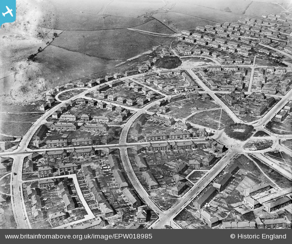
EPW018985 ENGLAND (1927). The Manor Estate, Sheffield, 1927
© Copyright OpenStreetMap contributors and licensed by the OpenStreetMap Foundation. 2026. Cartography is licensed as CC BY-SA.
Nearby Images (3)
EPW018985

EPW018981

EPW018984

Details
| Title | [EPW018985] The Manor Estate, Sheffield, 1927 |
| Reference | EPW018985 |
| Date | 25-July-1927 |
| Link | |
| Place name | SHEFFIELD |
| Parish | |
| District | |
| Country | ENGLAND |
| Easting / Northing | 438045, 385649 |
| Longitude / Latitude | -1.4281925629864, 53.366073211288 |
| National Grid Reference | SK380856 |
Pins
Be the first to add a comment to this image!