
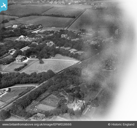
EPW018666 ENGLAND (1927). Markland Hill, Bolton, 1927
© Copyright OpenStreetMap contributors and licensed by the OpenStreetMap Foundation. 2026. Cartography is licensed as CC BY-SA.
Nearby Images (2)
EPW018666

EPW018665

Details
| Title | [EPW018666] Markland Hill, Bolton, 1927 |
| Reference | EPW018666 |
| Date | 2-July-1927 |
| Link | |
| Place name | BOLTON |
| Parish | |
| District | |
| Country | ENGLAND |
| Easting / Northing | 368434, 409409 |
| Longitude / Latitude | -2.4768217510504, 53.580083140168 |
| National Grid Reference | SD684094 |
Pins
Be the first to add a comment to this image!