
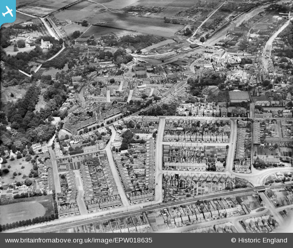
EPW018635 ENGLAND (1927). The Almshouses and area around South Road, Faversham, 1927
© Copyright OpenStreetMap contributors and licensed by the OpenStreetMap Foundation. 2026. Cartography is licensed as CC BY-SA.
Nearby Images (9)
EPW018635

EPW018593

EPW009152

EAW028817

EPW018597

EPW018634

EAW028818

EPW018598

EPW018595

Details
| Title | [EPW018635] The Almshouses and area around South Road, Faversham, 1927 |
| Reference | EPW018635 |
| Date | 22-June-1927 |
| Link | |
| Place name | FAVERSHAM |
| Parish | FAVERSHAM |
| District | |
| Country | ENGLAND |
| Easting / Northing | 601246, 161243 |
| Longitude / Latitude | 0.88808056245614, 51.314147274582 |
| National Grid Reference | TR012612 |
Pins
Be the first to add a comment to this image!