
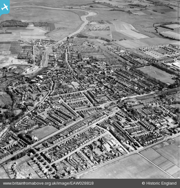
EAW028818 ENGLAND (1950). The town, Faversham, 1950
© Copyright OpenStreetMap contributors and licensed by the OpenStreetMap Foundation. 2026. Cartography is licensed as CC BY-SA.
Nearby Images (9)
EAW028818

EPW018595

EPW018634

EPW018598

EAW028817

EPW018635

EPW018593

EAW028820

EAW028819

Details
| Title | [EAW028818] The town, Faversham, 1950 |
| Reference | EAW028818 |
| Date | 1-May-1950 |
| Link | |
| Place name | FAVERSHAM |
| Parish | FAVERSHAM |
| District | |
| Country | ENGLAND |
| Easting / Northing | 601477, 161174 |
| Longitude / Latitude | 0.89135212875009, 51.313445814339 |
| National Grid Reference | TR015612 |
Pins

Matt Aldred edob.mattaldred.com |
Thursday 8th of May 2025 03:07:18 PM | |

Bean |
Friday 14th of February 2014 09:59:21 PM |