
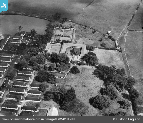
EPW018588 ENGLAND (1927). Stonar House, Sandwich, 1927
© Copyright OpenStreetMap contributors and licensed by the OpenStreetMap Foundation. 2026. Cartography is licensed as CC BY-SA.
Nearby Images (10)
EPW018588

EPW018584

EPW018587

EPW018581

EPW018590

EPW018582

EPW018585

EPW018583

EPW018586

EPW018589

Details
| Title | [EPW018588] Stonar House, Sandwich, 1927 |
| Reference | EPW018588 |
| Date | 22-June-1927 |
| Link | |
| Place name | SANDWICH |
| Parish | SANDWICH |
| District | |
| Country | ENGLAND |
| Easting / Northing | 633540, 158632 |
| Longitude / Latitude | 1.3490322609075, 51.278372187558 |
| National Grid Reference | TR335586 |
Pins

The Laird |
Sunday 29th of June 2014 05:19:38 PM | |
|
MB |
Sunday 7th of October 2012 06:59:01 PM | |
|
MB |
Sunday 7th of October 2012 06:57:36 PM | |
Or more possibly chapel |
MB |
Sunday 7th of October 2012 06:59:24 PM |
|
MB |
Sunday 7th of October 2012 06:57:00 PM |
User Comment Contributions
By 1958 the whole site - Stonar House and the huts had been cleared - was operating as ballast works |
MB |
Sunday 7th of October 2012 07:01:37 PM |