
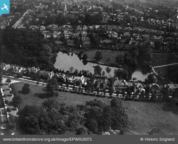
EPW018371 ENGLAND (1927). Salisbury Road and Moseley Park, Moseley, 1927. This image has been produced from a print.
© Copyright OpenStreetMap contributors and licensed by the OpenStreetMap Foundation. 2026. Cartography is licensed as CC BY-SA.
Nearby Images (2)
EPW018371

EAW001240

Details
| Title | [EPW018371] Salisbury Road and Moseley Park, Moseley, 1927. This image has been produced from a print. |
| Reference | EPW018371 |
| Date | 10-June-1927 |
| Link | |
| Place name | MOSELEY |
| Parish | |
| District | |
| Country | ENGLAND |
| Easting / Northing | 407359, 283391 |
| Longitude / Latitude | -1.8917101314491, 52.448057151922 |
| National Grid Reference | SP074834 |
Pins
Be the first to add a comment to this image!