
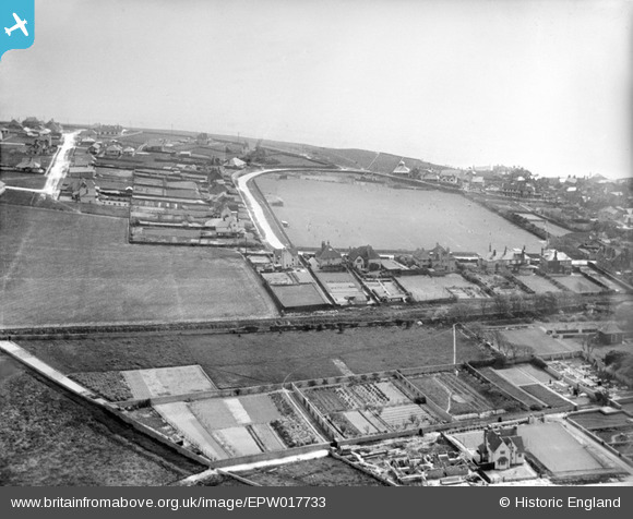
EPW017733 ENGLAND (1927). St Aubyns School playing field and environs, Rottingdean, from the north, 1927
© Copyright OpenStreetMap contributors and licensed by the OpenStreetMap Foundation. 2026. Cartography is licensed as CC BY-SA.
Nearby Images (23)
EPW017733

EPW017734

EPW017731

EPW017726

EPW017732

EPW017263

EPW017268

EPW017266

EPW017269

EPW017265

EPW018054

EPW017267

EPW017264

EPW018063

EPW017270

EPW018055

EPW018059

EPW018057

EPW018058

EPW054009

EPW054007

EPW054008

EPW018056

Details
| Title | [EPW017733] St Aubyns School playing field and environs, Rottingdean, from the north, 1927 |
| Reference | EPW017733 |
| Date | April-1927 |
| Link | |
| Place name | ROTTINGDEAN |
| Parish | ROTTINGDEAN |
| District | |
| Country | ENGLAND |
| Easting / Northing | 537134, 102505 |
| Longitude / Latitude | -0.053550668144761, 50.805286783151 |
| National Grid Reference | TQ371025 |
Pins
Be the first to add a comment to this image!