
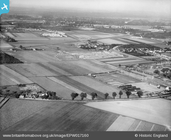
EPW017160 ENGLAND (1926). The Hounslow Barracks and new housing at Francis Road and environs, Hounslow, from the south-west, 1926
© Copyright OpenStreetMap contributors and licensed by the OpenStreetMap Foundation. 2026. Cartography is licensed as CC BY-SA.
Nearby Images (2)
EPW017160

EPW017163

Details
| Title | [EPW017160] The Hounslow Barracks and new housing at Francis Road and environs, Hounslow, from the south-west, 1926 |
| Reference | EPW017160 |
| Date | October-1926 |
| Link | |
| Place name | HOUNSLOW |
| Parish | |
| District | |
| Country | ENGLAND |
| Easting / Northing | 511562, 175570 |
| Longitude / Latitude | -0.39371090155002, 51.467600222942 |
| National Grid Reference | TQ116756 |
Pins

Class31 |
Wednesday 2nd of April 2014 09:42:52 AM | |

local historian |
Wednesday 29th of May 2013 02:15:27 PM |