
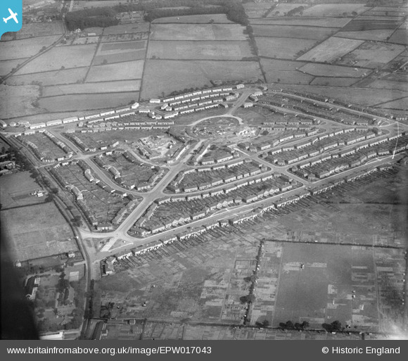
EPW017043 ENGLAND (1926). Housing around The Circle and Witton Lodge Road, Perry Common, 1926
© Copyright OpenStreetMap contributors and licensed by the OpenStreetMap Foundation. 2026. Cartography is licensed as CC BY-SA.
Nearby Images (2)
EPW017043

EPW017044

Details
| Title | [EPW017043] Housing around The Circle and Witton Lodge Road, Perry Common, 1926 |
| Reference | EPW017043 |
| Date | 6-October-1926 |
| Link | |
| Place name | PERRY COMMON |
| Parish | |
| District | |
| Country | ENGLAND |
| Easting / Northing | 408896, 293112 |
| Longitude / Latitude | -1.8688330025318, 52.535435465485 |
| National Grid Reference | SP089931 |
