
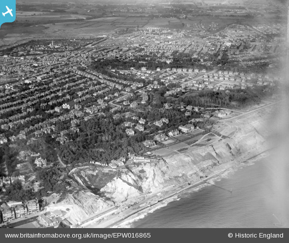
EPW016865 ENGLAND (1926). The Cliff Gardens and residential area, Boscombe, from the south-west, 1926
© Copyright OpenStreetMap contributors and licensed by the OpenStreetMap Foundation. 2026. Cartography is licensed as CC BY-SA.
Nearby Images (2)
EPW016865

EPW013559

Details
| Title | [EPW016865] The Cliff Gardens and residential area, Boscombe, from the south-west, 1926 |
| Reference | EPW016865 |
| Date | August-1926 |
| Link | |
| Place name | BOSCOMBE |
| Parish | |
| District | |
| Country | ENGLAND |
| Easting / Northing | 411575, 91353 |
| Longitude / Latitude | -1.8360078128346, 50.721113013346 |
| National Grid Reference | SZ116914 |
Pins

Class31 |
Tuesday 15th of July 2014 08:56:59 AM |