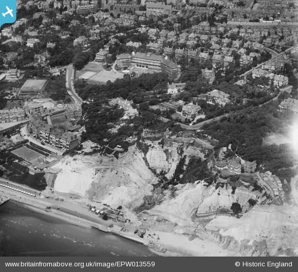
EPW013559 ENGLAND (1925). Disused sand pits below Michelgrove, Boscombe, 1925
© Copyright OpenStreetMap contributors and licensed by the OpenStreetMap Foundation. 2026. Cartography is licensed as CC BY-SA.
Nearby Images (13)
EPW013559

EAW035606

EPR000668

EPR000288

EPR000665

EPR000287

EPW013565

EPW016865

EPW018169

EAW035604

EPW037435

EPR000669

EAW049058

Details
| Title | [EPW013559] Disused sand pits below Michelgrove, Boscombe, 1925 |
| Reference | EPW013559 |
| Date | June-1925 |
| Link | |
| Place name | BOSCOMBE |
| Parish | |
| District | |
| Country | ENGLAND |
| Easting / Northing | 411356, 91290 |
| Longitude / Latitude | -1.8391124860989, 50.720550734509 |
| National Grid Reference | SZ114913 |
Pins

Tim Hale |
Monday 8th of June 2015 11:25:39 AM |