
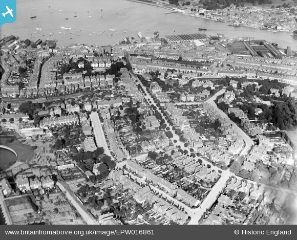
EPW016861 ENGLAND (1926). Mill Hill Road and environs, Cowes, 1926
© Copyright OpenStreetMap contributors and licensed by the OpenStreetMap Foundation. 2026. Cartography is licensed as CC BY-SA.
Nearby Images (2)
EPW016861

EAW022228

Details
| Title | [EPW016861] Mill Hill Road and environs, Cowes, 1926 |
| Reference | EPW016861 |
| Date | August-1926 |
| Link | |
| Place name | COWES |
| Parish | COWES |
| District | |
| Country | ENGLAND |
| Easting / Northing | 449447, 95554 |
| Longitude / Latitude | -1.2989077602175, 50.756903545484 |
| National Grid Reference | SZ494956 |
