
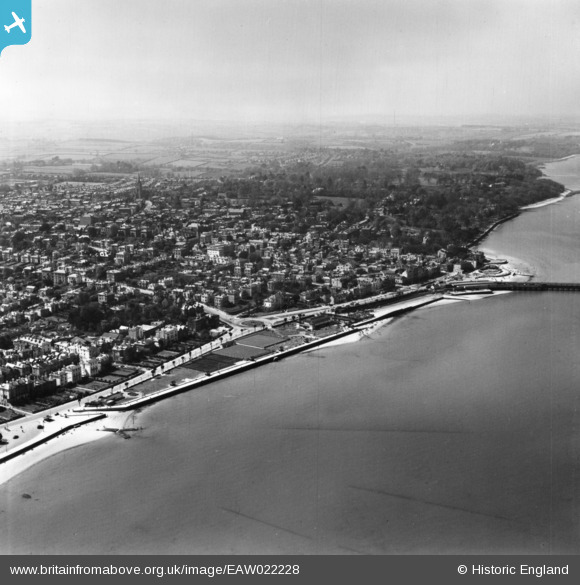
EAW022228 ENGLAND (1949). The town, Cowes, from the south, 1949. This image has been produced from a copy-negative.
© Copyright OpenStreetMap contributors and licensed by the OpenStreetMap Foundation. 2026. Cartography is licensed as CC BY-SA.
Nearby Images (2)
EAW022228

EPW016861

Details
| Title | [EAW022228] The town, Cowes, from the south, 1949. This image has been produced from a copy-negative. |
| Reference | EAW022228 |
| Date | 17-April-1949 |
| Link | |
| Place name | COWES |
| Parish | COWES |
| District | |
| Country | ENGLAND |
| Easting / Northing | 449437, 95343 |
| Longitude / Latitude | -1.2990778787706, 50.755006878931 |
| National Grid Reference | SZ494953 |
Pins
Be the first to add a comment to this image!
User Comment Contributions
This is Ryde not Cowes |

Alan Dinnis |
Tuesday 28th of February 2017 02:42:34 PM |