
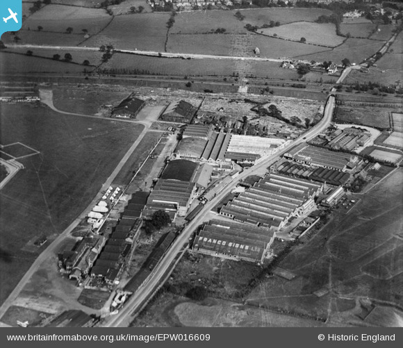
EPW016609 ENGLAND (1926). Factories on the southern side of RAF Hendon, Hendon, 1926
© Copyright OpenStreetMap contributors and licensed by the OpenStreetMap Foundation. 2026. Cartography is licensed as CC BY-SA.
Nearby Images (31)
EPW016609

EPR000650

EPW016607

EPW016605

EPW016610

EPW016611

EPW016612

EPW016606

EPW006132

EPW008852

EPW000006

EPW016608

EPW058514

EPW058513

EPW058512

EPW025849
 flying over Hendon Country Club, 1929")
EPW002008

EPW002008A

EPW000001

EPW000014

EPW008760

EPW000013

EPW000009

EPW000010

EPW002010

EPW009684

EPW000012

EPW002007

EPW002011

EPW007392

EPW038690

Details
| Title | [EPW016609] Factories on the southern side of RAF Hendon, Hendon, 1926 |
| Reference | EPW016609 |
| Date | 26-August-1926 |
| Link | |
| Place name | HENDON |
| Parish | |
| District | |
| Country | ENGLAND |
| Easting / Northing | 521874, 189957 |
| Longitude / Latitude | -0.24032883394197, 51.594786599343 |
| National Grid Reference | TQ219900 |
Pins

The Laird |
Saturday 10th of October 2015 03:26:18 PM | |
|
The Laird |
Saturday 10th of October 2015 03:19:25 PM | |
|
The Laird |
Saturday 10th of October 2015 02:37:10 PM | |
|
The Laird |
Thursday 26th of June 2014 02:16:15 PM | |
|
The Laird |
Thursday 26th of June 2014 02:15:16 PM | |
|
The Laird |
Thursday 26th of June 2014 02:10:56 PM | |
|
The Laird |
Thursday 26th of June 2014 02:10:10 PM |