
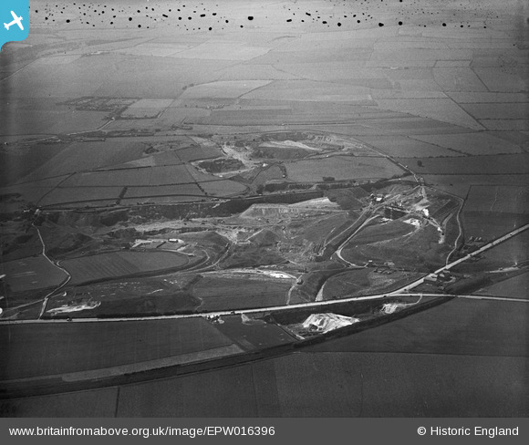
EPW016396 ENGLAND (1926). Fulwell Quarry, Sunderland, from the north-east, 1926
© Copyright OpenStreetMap contributors and licensed by the OpenStreetMap Foundation. 2026. Cartography is licensed as CC BY-SA.
Nearby Images (5)
EPW016396

EPW016394

EPW016399

EPW016397

EPW016402

Details
| Title | [EPW016396] Fulwell Quarry, Sunderland, from the north-east, 1926 |
| Reference | EPW016396 |
| Date | 29-July-1926 |
| Link | |
| Place name | SUNDERLAND |
| Parish | |
| District | |
| Country | ENGLAND |
| Easting / Northing | 439061, 560023 |
| Longitude / Latitude | -1.3903200728914, 54.933272081205 |
| National Grid Reference | NZ391600 |
Pins

RichardG |
Wednesday 11th of July 2018 11:54:24 AM |