
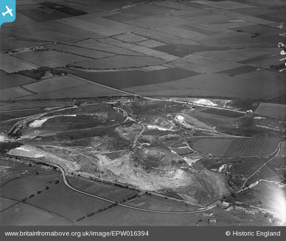
EPW016394 ENGLAND (1926). Fulwell Quarry, Sunderland, 1926
© Copyright OpenStreetMap contributors and licensed by the OpenStreetMap Foundation. 2026. Cartography is licensed as CC BY-SA.
Nearby Images (8)
EPW016394

EPW016399

EPW016402

EPW016397

EPW016396

EPW016398

EPW016395

EPW016400

Details
| Title | [EPW016394] Fulwell Quarry, Sunderland, 1926 |
| Reference | EPW016394 |
| Date | 29-July-1926 |
| Link | |
| Place name | SUNDERLAND |
| Parish | |
| District | |
| Country | ENGLAND |
| Easting / Northing | 438921, 560040 |
| Longitude / Latitude | -1.3925028099608, 54.933435795579 |
| National Grid Reference | NZ389600 |
Pins
Be the first to add a comment to this image!