
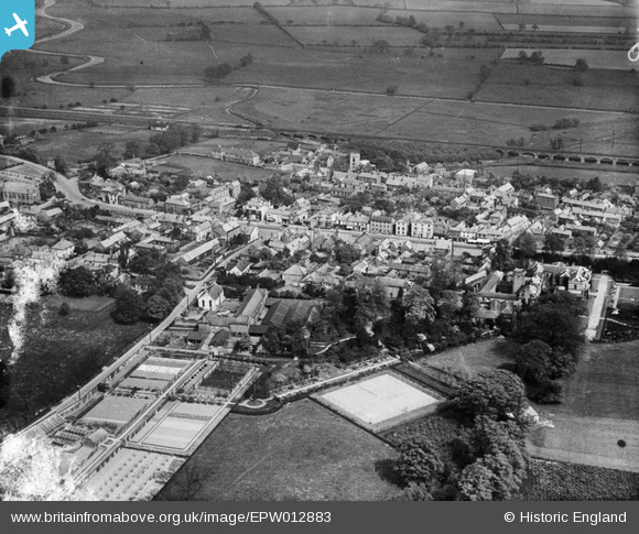
EPW012883 ENGLAND (1925). The village centre, Bawtry, 1925
© Copyright OpenStreetMap contributors and licensed by the OpenStreetMap Foundation. 2026. Cartography is licensed as CC BY-SA.
Nearby Images (4)
EPW012883

EPW012886

EPW054544

EPW012885

Details
| Title | [EPW012883] The village centre, Bawtry, 1925 |
| Reference | EPW012883 |
| Date | May-1925 |
| Link | |
| Place name | BAWTRY |
| Parish | BAWTRY |
| District | |
| Country | ENGLAND |
| Easting / Northing | 465110, 393002 |
| Longitude / Latitude | -1.0199461168651, 53.42952280808 |
| National Grid Reference | SK651930 |
Pins

John Wass |
Saturday 15th of November 2014 07:46:25 PM |